|
search place name
|
||
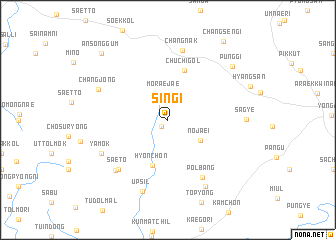
Sin'gi (Kyŏngsang, Korea, South)Sin'gi is a town in the Kyŏngsang region of Korea, South. An overview map of the region around Sin'gi is displayed below.
regional and 3d topo map of Sin'gi, Korea, South ::
Sin'gi airports ::
The nearest airport is YEC - Yechon Yecheon, located 22.8 km south west of Sin'gi.
Other airports nearby include TAE - Taegu Daegu Ab (103.8 km south), KAG - Kangnung Gangneung (112.3 km north), KPO - Pohang (125.6 km south east), OSN - Osan Ab (131.6 km west), Nearby towns ::
Sae-maŭl (0.9km south west) //
Moraejae (3.0km north) //
Nojaei (3.7km south east) //
Hyŏn-ch'on (5.3km south) //
Chuch'i-gol (5.8km north) //
Ap'tuduk (5.8km north) //
Pŏlbang (7.1km south east) //
Saet'ŏ (7.1km south west) //
Ch'angnak (7.9km north) //
Kogyo (7.3km south west) //
Yamok (7.0km south west) //
Changjŏng (7.1km north west) //
Ŭpsil (8.3km south) //
Chinjak (8.1km south east) //
Sagye (7.0km east) //
P'unggi (8.3km north east) //
Ansŏnggŭm (9.5km north west) //
Changsengi (10.1km north east) //
[all distances 'as the bird flies' and approximate] 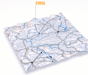 Places with similar names to Sin'gi, Korea, South ::
Disclaimer :: Information on this page comes without warranty of any kind |
||
|
Where is Sin'gi? Elevation and coordinates ::
Latitude (lat): 36°49'0"N Longitude (lon): 128°28'0"E
Elevation (approx.): 597m (map arrows pan, magnifying glasses zoom) |
||
|
Visiting Sin'gi? Hotel/Accommodation ::
Book a hotel in Sin'gi Travel Guide ::
rental cars ::
car rental offers GPS waypoint ::
download a GPX waypoint (PoI) of Sin'gi for your GPS receiver
|
||