|
search place name
|
||
Sŏunt'ae (Korea, South)Sŏunt'ae is a town in Korea, South. An overview map of the region around Sŏunt'ae is displayed below.
regional and 3d topo map of Sŏunt'ae, Korea, South ::

Sŏunt'ae airports ::
The nearest airport is KWJ - Kwangju Gwangju, located 35.8 km north west of Sŏunt'ae.
Other airports nearby include RSU - Yeosu (50.5 km east), KUB - Kunsan Ab (120.4 km north), CJU - Cheju Jeju Intl (161.1 km south), PUS - Kimhae Gimhae Intl (173.9 km east), Nearby towns ::
Yŏsul (0.0km north) //
Ŏsi (1.9km north) //
Ong-ni (1.9km north) //
Sangch'on (2.4km north east) //
Saŭn-dong (2.4km south west) //
Sŏbong (2.4km south west) //
Ssangbong-ni (3.1km south west) //
Kap-tong (3.7km south) //
Sangjangch'i (3.7km north) //
Haktong-ni (3.9km south) //
Chuk-tong (3.6km south east) //
Saphwa (4.0km south) //
Sŏbong (3.6km north east) //
Hwaryŏng (3.6km north east) //
Sangmaejŏng (3.6km south west) //
Wŏlbong (3.6km north west) //
Mukkong-ni (3.9km north west) //
Chinbong-ni (4.3km north east) //
Changjagul (4.8km north west) //
Yongbal-li (5.1km north west) //
Pongnae (4.6km east) //
Kye-dong (4.6km east) //
Ipsŏk (4.6km east) //
Sinhŭng-dong (5.6km south) //
Changch'ŏl-li (5.0km south east) //
Homi (5.8km south) //
Paramjae (4.9km east) //
Songjŏng-ni (5.4km south west) //
Ŭn'gok (6.3km south east) //
[all distances 'as the bird flies' and approximate] 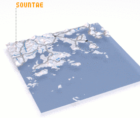 Places with similar names to Sŏunt'ae, Korea, South ::
Disclaimer :: Information on this page comes without warranty of any kind |
||
|
Where is Sŏunt'ae? Elevation and coordinates ::
Latitude (lat): 34°53'0"N Longitude (lon): 127°4'0"E
Elevation (approx.): 235m (map arrows pan, magnifying glasses zoom) |
||
|
Visiting Sŏunt'ae? Hotel/Accommodation ::
Book a hotel in Sŏunt'ae Travel Guide ::
rental cars ::
car rental offers GPS waypoint ::
download a GPX waypoint (PoI) of Sŏunt'ae for your GPS receiver
|
||