|
search place name
|
||
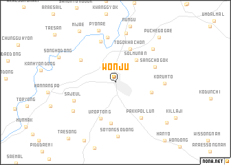
Wŏnju (Kangwŏn, Korea, South)Wŏnju is a town in the Kangwŏn region of Korea, South. An overview map of the region around Wŏnju is displayed below.
regional and 3d topo map of Wŏnju, Korea, South ::
Wŏnju airports ::
The nearest airport is SSN - Seoul East Seoul Ab, located 74.4 km west of Wŏnju.
Other airports nearby include OSN - Osan Ab (86.3 km west), YEC - Yechon Yecheon (87.8 km south east), KAG - Kangnung Gangneung (98.9 km north east), GMP - Seoul Gimpo (104.7 km west), Nearby towns ::
Solmunan (4.5km north east) //
Togokhach'on (5.7km north) //
Pangmyo-dong (4.9km east) //
Urŏp-tong (6.2km south) //
Nusan (5.7km north west) //
Oedongmak (6.7km south) //
Sangch'ogok (5.7km north east) //
Chusal-li (6.9km north) //
Pakkpŏllun (6.6km south east) //
Hant'ŏ (7.3km north) //
Sajeul (6.1km south west) //
Kŏrŭmt'ŏ (6.3km east) //
P'yŏngjang-dong (7.3km north east) //
Hwasu-dong (8.1km north) //
Sŭngan-dong (7.2km south west) //
Soyongso-dong (8.7km south) //
P'yŏnae (8.7km north) //
Puch'egogae (9.2km north east) //
Mijae (9.5km north west) //
Illon (9.3km south east) //
[all distances 'as the bird flies' and approximate] 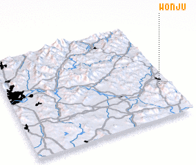 Places with similar names to Wŏnju, Korea, South ::
Disclaimer :: Information on this page comes without warranty of any kind |
||
|
Where is Wŏnju? Elevation and coordinates ::
Latitude (lat): 37°21'5"N Longitude (lon): 127°56'43"E
Elevation (approx.): 134m (map arrows pan, magnifying glasses zoom) |
||
|
Visiting Wŏnju? Hotel/Accommodation ::
Book a hotel in Wŏnju Travel Guide ::
rental cars ::
car rental offers GPS waypoint ::
download a GPX waypoint (PoI) of Wŏnju for your GPS receiver
|
||