|
search place name
|
||
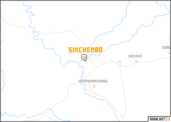
Simchembo (Zimbabwe)Simchembo is a town in Zimbabwe. An overview map of the region around Simchembo is displayed below.
regional and 3d topo map of Simchembo, Zimbabwe ::
Simchembo airports ::
The nearest airport is KAB - Kariba Intl, located 150.8 km north east of Simchembo.
Other airports nearby include WKM - Hwange National Park (156.3 km south west), GWE - Gwert Gweru Thornhill (300.7 km south east), Nearby towns ::
Chief Sinasenkwe (5.8km south) //
Chief Sinampande (7.1km east) //
[all distances 'as the bird flies' and approximate] 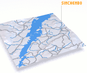 Places with similar names to Simchembo, Zimbabwe ::
// Saamch'am (KP)
// Xóm Bu Chum (VN)
// Xóm Chiềm (VN)
// Xóm Chim (VN)
// Xóm Châm (VN)
// Xóm Châm (VN)
// Xóm Chùa Mới (VN)
Disclaimer :: Information on this page comes without warranty of any kind |
||
|
Where is Simchembo? Elevation and coordinates ::
Latitude (lat): 17°29'0"S Longitude (lon): 27°53'0"E
Elevation (approx.): 601m (map arrows pan, magnifying glasses zoom) |
||
|
Visiting Simchembo? Hotel/Accommodation ::
Book a hotel in Simchembo Travel Guide ::
Buy a travel guide for Zimbabwe rental cars ::
car rental offers GPS waypoint ::
download a GPX waypoint (PoI) of Simchembo for your GPS receiver
|
||