|
search place name
|
||
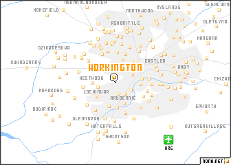
Workington (Mashonaland East, Zimbabwe)Workington is a town in the Mashonaland East region of Zimbabwe. An overview map of the region around Workington is displayed below.
regional and 3d topo map of Workington, Zimbabwe ::
Workington airports ::
The nearest airport is HRE - Harare Intl, located 12.4 km south east of Workington.
Other airports nearby include GWE - Gwert Gweru Thornhill (213.8 km south west), Nearby towns ::
Ridgeview (1.2km north) //
Southerton (1.8km south) //
Belvedere South (2.0km north) //
Lincoln Green (2.2km north) //
Harari (2.4km south east) //
Mbare (2.6km south east) //
Rugare (2.7km west) //
Belvedere North (3.0km north) //
Kopje (3.0km north east) //
Civic Centre (3.1km north east) //
Ardbennie (3.6km south) //
Westwood (3.6km west) //
Lochinvar (3.7km south west) //
Milton Park (3.8km north) //
Houghton Park (4.0km south) //
New Ardbennie (4.0km south) //
Graniteside (3.9km east) //
Warren Park (4.0km north west) //
Avenues (4.1km north east) //
Arcadia (4.1km east) //
Harare (4.6km north east) //
Monovale (4.8km north) //
Kensington (4.9km north) //
Saint Andrews Park (5.0km north west) //
Sunningdale (4.9km south east) //
Parktown (5.1km south) //
Meyrick Park (5.2km north) //
Saint Martins (5.1km east) //
Kambuzuma (5.1km west) //
[all distances 'as the bird flies' and approximate] 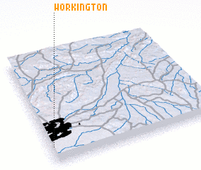 Places with similar names to Workington, Zimbabwe ::
// Workington (GB)
Disclaimer :: Information on this page comes without warranty of any kind |
||
|
Where is Workington? Elevation and coordinates ::
Latitude (lat): 17°50'53"S Longitude (lon): 31°0'54"E
Elevation (approx.): 1453m (map arrows pan, magnifying glasses zoom) |
||
|
Visiting Workington? Hotel/Accommodation ::
Book a hotel in Workington Travel Guide ::
Buy a travel guide for Zimbabwe rental cars ::
car rental offers GPS waypoint ::
download a GPX waypoint (PoI) of Workington for your GPS receiver
|
||