|
search place name
|
||
Abenye (Equatorial Guinea)Abenye is a town in Equatorial Guinea. An overview map of the region around Abenye is displayed below.
regional and 3d topo map of Abenye, Equatorial Guinea ::

Abenye airports ::
The nearest airport is BSG - Bata, located 113.5 km north west of Abenye.
Other airports nearby include LBV - Libreville Leon M Ba (131.4 km south west), OYE - Oyem (139.2 km east), BMM - Bitam (162.4 km north east), LBQ - Lambarene (198.6 km south), Nearby towns ::
Acanabor (0.0km north) //
Ndyedum (0.0km north) //
Nsangnam (1.9km north) //
Madyamabé (2.6km north west) //
Macoete (2.6km north west) //
Evenam (3.7km east) //
Avensoc (3.7km east) //
Esong (3.7km north) //
Amvam (4.1km south west) //
Caangán (4.1km south west) //
Ebamoyong (4.1km north west) //
Abenilang (5.6km east) //
Ndombo (5.6km south) //
Acurensoc (5.6km west) //
Añeng (5.6km west) //
Acoc (6.7km north east) //
Bidyigdyiga (6.7km south east) //
Evinayong (6.7km north west) //
Acurnam (7.4km west) //
Bicum (7.6km south) //
Minsengminsoc (7.9km north east) //
Mveng (7.9km north west) //
Obandoc (8.3km north west) //
Angua (9.3km north east) //
Ngobi (9.3km south west) //
San Antonio (10.5km north east) //
[all distances 'as the bird flies' and approximate] 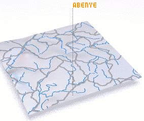
Disclaimer :: Information on this page comes without warranty of any kind |
||
|
Where is Abenye? Elevation and coordinates ::
Latitude (lat): 1°5'0"N Longitude (lon): 10°25'0"E
Elevation (approx.): 597m (map arrows pan, magnifying glasses zoom) |
||
|
Visiting Abenye? Hotel/Accommodation ::
Book a hotel in Abenye Travel Guide ::
rental cars ::
car rental offers GPS waypoint ::
download a GPX waypoint (PoI) of Abenye for your GPS receiver
|
||