|
search place name
|
||
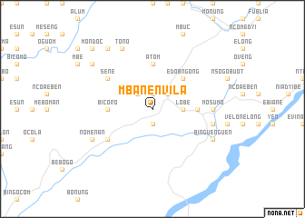
Mbanenvila (Equatorial Guinea)Mbanenvila is a town in Equatorial Guinea. An overview map of the region around Mbanenvila is displayed below.
regional and 3d topo map of Mbanenvila, Equatorial Guinea ::
Mbanenvila airports ::
The nearest airport is BSG - Bata, located 30.2 km north west of Mbanenvila.
Other airports nearby include LBV - Libreville Leon M Ba (156.2 km south west), BMM - Bitam (168.6 km east), OYE - Oyem (175.4 km east), Nearby towns ::
Miang (1.9km south) //
Ncomococ (1.9km north) //
Mondoc (2.6km north east) //
Yang (2.6km north west) //
Ncoangalá (2.6km north west) //
Lobé (3.7km east) //
Edobngong (5.2km north east) //
Atom (5.6km north) //
Bicoro (5.6km west) //
Ayacmbong (5.6km east) //
Moguomo (6.7km south west) //
Sene (6.7km north west) //
Acocnfang (6.7km north west) //
Añisoc (7.4km east) //
Mosumo (7.4km east) //
Mibamenga (7.6km east) //
Binguenguen (8.3km south east) //
Abomenvila (8.3km south east) //
Nomenan (8.3km south west) //
Tono (8.3km north west) //
Ayacue (9.3km north west) //
Bisabinya (9.3km north west) //
Mondoc (10.5km north west) //
[all distances 'as the bird flies' and approximate] 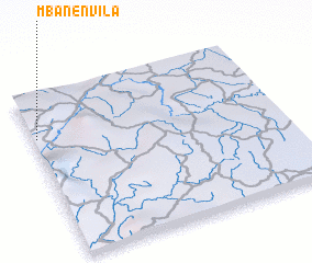 Places with similar names to Mbanenvila, Equatorial Guinea ::
// Mononville (HT)
// Manonville (FR)
// Ménonval (FR)
// Monanveel (IE)
// Ménainville (FR)
// Menainville (FR)
// Menonville (FR)
Disclaimer :: Information on this page comes without warranty of any kind |
||
|
Where is Mbanenvila? Elevation and coordinates ::
Latitude (lat): 1°44'0"N Longitude (lon): 10°1'0"E
Elevation (approx.): 293m (map arrows pan, magnifying glasses zoom) |
||
|
Visiting Mbanenvila? Hotel/Accommodation ::
Book a hotel in Mbanenvila Travel Guide ::
rental cars ::
car rental offers GPS waypoint ::
download a GPX waypoint (PoI) of Mbanenvila for your GPS receiver
|
||