|
search place name
|
||
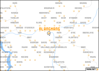
Nlangmang (Equatorial Guinea)Nlangmang is a town in Equatorial Guinea. An overview map of the region around Nlangmang is displayed below.
regional and 3d topo map of Nlangmang, Equatorial Guinea ::
Nlangmang airports ::
The nearest airport is BMM - Bitam, located 85.4 km east of Nlangmang.
Other airports nearby include OYE - Oyem (99.9 km east), BSG - Bata (105.1 km west), LBV - Libreville Leon M Ba (216.8 km south west), YAO - Yaounde Ville (232.4 km north), Nearby towns ::
Bicaba (1.9km south) //
Embiert (1.9km south) //
Alen (1.9km north) //
Nseelang (1.9km north) //
Nchengbor (2.6km north west) //
Nsimi (3.7km east) //
Malen (4.1km south east) //
Mfaman (4.1km south east) //
Saugon (4.1km south east) //
Añisoc (4.1km south east) //
Oveng (4.1km south west) //
Acoga (4.1km north east) //
Akinebitom (4.1km north west) //
Mbubuin (4.1km north west) //
Mabo (4.1km north east) //
Maconanam (4.1km north west) //
Acaasi (5.2km south east) //
Adyap (5.2km south west) //
Micueme (5.2km south west) //
Ncan (5.2km north east) //
Nlang (5.2km north west) //
Nameñu (5.6km south) //
Macoc (5.6km south) //
Asasi (5.6km south) //
Ayene (5.9km west) //
Andoc (5.9km west) //
Abang (5.9km north) //
Bicat (5.9km north) //
Acueton (5.9km south) //
[all distances 'as the bird flies' and approximate] 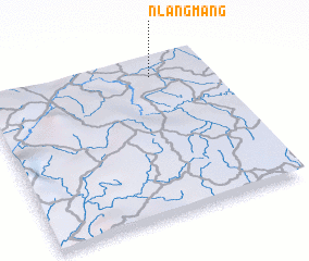 Places with similar names to Nlangmang, Equatorial Guinea ::
// Nlang-Mbeng (GA)
Disclaimer :: Information on this page comes without warranty of any kind |
||
|
Where is Nlangmang? Elevation and coordinates ::
Latitude (lat): 1°53'0"N Longitude (lon): 10°45'0"E
Elevation (approx.): 444m (map arrows pan, magnifying glasses zoom) |
||
|
Visiting Nlangmang? Hotel/Accommodation ::
Book a hotel in Nlangmang Travel Guide ::
rental cars ::
car rental offers GPS waypoint ::
download a GPX waypoint (PoI) of Nlangmang for your GPS receiver
|
||