|
search place name
|
||
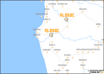
Nlosoc (Equatorial Guinea)Nlosoc is a town in Equatorial Guinea. An overview map of the region around Nlosoc is displayed below.
regional and 3d topo map of Nlosoc, Equatorial Guinea ::
Nlosoc airports ::
The nearest airport is BSG - Bata, located 19.7 km south of Nlosoc.
Other airports nearby include LBV - Libreville Leon M Ba (185.2 km south), BMM - Bitam (186.5 km east), OYE - Oyem (205.2 km east), DLA - Douala (212.9 km north), Nearby towns ::
Asam (1.9km south) //
Tom (2.6km north east) //
Nco (2.6km north west) //
Ngole (3.7km south) //
Mbonda (5.6km west) //
Niasam (5.9km south) //
Dibolo (5.9km north) //
Evongo (5.9km north) //
Biadibe (5.9km south) //
Mbonda (5.9km west) //
Alep (6.7km north east) //
Matungu (7.6km north) //
Nlosoc (7.9km north east) //
Ngonemanga (8.3km north west) //
Ecang (9.3km south east) //
Biñeng (9.3km south east) //
Bicoeme (9.3km south east) //
Afanabang (10.5km south east) //
[all distances 'as the bird flies' and approximate] 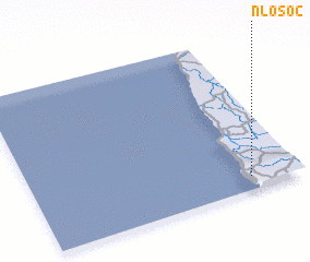 Places with similar names to Nlosoc, Equatorial Guinea ::
Disclaimer :: Information on this page comes without warranty of any kind |
||
|
Where is Nlosoc? Elevation and coordinates ::
Latitude (lat): 2°5'0"N Longitude (lon): 9°49'0"E
Elevation (approx.): 34m (map arrows pan, magnifying glasses zoom) |
||
|
Visiting Nlosoc? Hotel/Accommodation ::
Book a hotel in Nlosoc Travel Guide ::
rental cars ::
car rental offers GPS waypoint ::
download a GPX waypoint (PoI) of Nlosoc for your GPS receiver
|
||