|
search place name
|
||
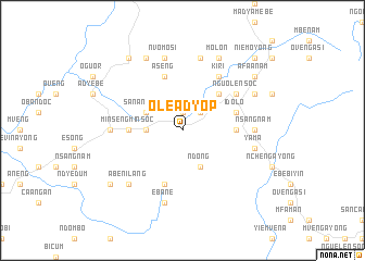
Oleadyop (Equatorial Guinea)Oleadyop is a town in Equatorial Guinea. An overview map of the region around Oleadyop is displayed below.
regional and 3d topo map of Oleadyop, Equatorial Guinea ::
Oleadyop airports ::
The nearest airport is BSG - Bata, located 116.4 km north west of Oleadyop.
Other airports nearby include OYE - Oyem (126.9 km east), LBV - Libreville Leon M Ba (143.8 km south west), BMM - Bitam (150.5 km north east), LBQ - Lambarene (205.4 km south), Nearby towns ::
Enuc (1.9km north) //
Mfulayong (2.6km north east) //
Angua (3.7km west) //
Medyanga (4.1km south east) //
Ndong (4.1km south east) //
San Antonio (4.1km north west) //
Bison (5.2km north east) //
Ayene (5.6km east) //
Minsengminsoc (5.6km west) //
Aseng (5.9km north) //
Alarmintang (5.9km south) //
Idolo (5.9km east) //
Kiri (6.7km north east) //
Nguolensoc (6.7km north east) //
Nsangnam (7.4km east) //
Acoc (7.4km west) //
Yama (7.6km east) //
Ebane (7.6km south) //
Ebcua Meyene (7.6km north) //
Nvomosi (7.6km north) //
Abenilang (7.9km south west) //
Euonanam (8.3km north east) //
Elon (8.3km north east) //
Molon (8.3km north east) //
Eteng (8.3km north east) //
Esong (8.3km north west) //
Ecoguong (8.3km north west) //
Afaanam (9.3km north east) //
Engomngom (9.3km north west) //
[all distances 'as the bird flies' and approximate] 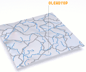 Places with similar names to Oleadyop, Equatorial Guinea ::
// Olode Ayope (NG)
Disclaimer :: Information on this page comes without warranty of any kind |
||
|
Where is Oleadyop? Elevation and coordinates ::
Latitude (lat): 1°8'0"N Longitude (lon): 10°31'0"E
Elevation (approx.): 655m (map arrows pan, magnifying glasses zoom) |
||
|
Visiting Oleadyop? Hotel/Accommodation ::
Book a hotel in Oleadyop Travel Guide ::
rental cars ::
car rental offers GPS waypoint ::
download a GPX waypoint (PoI) of Oleadyop for your GPS receiver
|
||