|
search place name
|
||
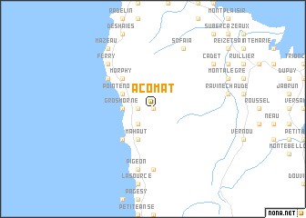
Acomat (Guadeloupe, Guadeloupe)Acomat is a town in the Guadeloupe region of Guadeloupe. An overview map of the region around Acomat is displayed below.
regional and 3d topo map of Acomat, Guadeloupe ::
Acomat airports ::
The nearest airport is PTP - Pointe-a-pitre Le Raizet, located 23.9 km east of Acomat.
Other airports nearby include DOM - Dominica Melville Hall (88.4 km south east), ANU - Antigua V C Bird Intl (101.9 km north), DCF - Canefield (104.6 km south), SKB - Basse Terre Robert L Bradshaw (159.2 km north west), Nearby towns ::
Les Plaines (0.0km north) //
Desplan (1.8km west) //
La Retraite (1.8km west) //
Grande Plaine (2.6km south west) //
Gros Morne (3.6km west) //
Grandʼ Case (3.6km west) //
Pointe-Noire (4.0km north west) //
Mahaut (4.1km south west) //
Morphy (5.1km north west) //
Beausoleil (5.1km north west) //
Lesueur (5.1km south west) //
Baille-Argent (6.5km north west) //
La Lise (7.4km south) //
Pigeon (7.6km south) //
Ferry (7.7km north west) //
Sofaïa (8.2km north east) //
Mazeau (9.1km north west) //
Cadet (9.0km north east) //
[all distances 'as the bird flies' and approximate] 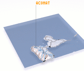 Places with similar names to Acomat, Guadeloupe ::
Disclaimer :: Information on this page comes without warranty of any kind |
||
|
Where is Acomat? Elevation and coordinates ::
Latitude (lat): 16°13'0"N Longitude (lon): 61°45'0"W
Elevation (approx.): 546m (map arrows pan, magnifying glasses zoom) |
||
|
Visiting Acomat? Hotel/Accommodation ::
Book a hotel in Acomat Travel Guide ::
Buy a travel guide for Guadeloupe rental cars ::
car rental offers GPS waypoint ::
download a GPX waypoint (PoI) of Acomat for your GPS receiver
|
||