|
search place name
|
||
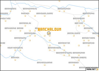
Ban Chaloum (Laos)Ban Chaloum is a town in Laos. An overview map of the region around Ban Chaloum is displayed below.
regional and 3d topo map of Ban Chaloum, Laos ::
Ban Chaloum airports ::
The nearest airport is ZVK - Savannakhet, located 99.6 km south west of Ban Chaloum.
Other airports nearby include SNO - Sakon Nakhon (129.4 km west), Nearby towns ::
Ban Nasathoung (0.0km north) //
Ban Namakba (1.8km west) //
Ban Nahang (1.9km south) //
Ban Nakathang Dông (3.7km south) //
Ban Panam (4.0km north west) //
Ban Nakathang Thông (5.6km south) //
Ban Don (5.3km west) //
Ban Namang (5.6km west) //
Ban Phakhông (5.8km south) //
Ban Nakatom (6.5km south east) //
Ban Nangiou (7.1km west) //
Ban Kouanlouang (7.6km north) //
Ban Nathon (7.3km west) //
Ban Namala (7.3km west) //
Ban Donthông (7.3km west) //
Ban Nampiat Thông (7.7km south east) //
Ban Kava (9.1km north west) //
Ban Nampiat Dông (9.1km south east) //
Ban Nakham (10.3km south east) //
[all distances 'as the bird flies' and approximate] 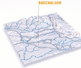 Places with similar names to Ban Chaloum, Laos ::
Disclaimer :: Information on this page comes without warranty of any kind |
||
|
Where is Ban Chaloum? Elevation and coordinates ::
Latitude (lat): 17°16'0"N Longitude (lon): 105°20'0"E
Elevation (approx.): 173m (map arrows pan, magnifying glasses zoom) |
||
|
Visiting Ban Chaloum? Hotel/Accommodation ::
Book a hotel in Ban Chaloum Travel Guide ::
Buy a travel guide for Laos rental cars ::
car rental offers GPS waypoint ::
download a GPX waypoint (PoI) of Ban Chaloum for your GPS receiver
|
||