|
search place name
|
||
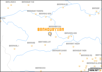
Ban Houayxam (Xiangkhoang, Laos)Ban Houayxam is a town in the Xiangkhoang region of Laos. An overview map of the region around Ban Houayxam is displayed below.
regional and 3d topo map of Ban Houayxam, Laos ::
Ban Houayxam airports ::
The nearest airport is LPQ - Luang Prabang Luang Phabang Intl, located 89.1 km west of Ban Houayxam.
Other airports nearby include VTE - Vientiane Wattay Intl (202.2 km south), Nearby towns ::
Ban Phônthan (1.6km east) //
Ban Phiangdi (2.9km north east) //
Ban Thaolat (3.8km south west) //
Ban Dènsavan (6.1km north) //
Ban Namhang (6.0km east) //
Ban Houayhom (6.1km east) //
Ban Muangmian (7.3km south east) //
Ban Vang-Hôk (7.0km east) //
Ban Pakvang (7.5km north) //
Ban Niao (7.6km south west) //
Ban Namthoum (8.7km south east) //
Ban Houaysaong (9.7km north west) //
[all distances 'as the bird flies' and approximate] 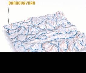 Places with similar names to Ban Houayxam, Laos ::
// Ban Houayxôm (LA)
Disclaimer :: Information on this page comes without warranty of any kind |
||
|
Where is Ban Houayxam? Elevation and coordinates ::
Latitude (lat): 19°46'0"N Longitude (lon): 103°0'0"E
Elevation (approx.): 699m (map arrows pan, magnifying glasses zoom) |
||
|
Visiting Ban Houayxam? Hotel/Accommodation ::
Book a hotel in Ban Houayxam Travel Guide ::
Buy a travel guide for Laos rental cars ::
car rental offers GPS waypoint ::
download a GPX waypoint (PoI) of Ban Houayxam for your GPS receiver
|
||