|
search place name
|
||
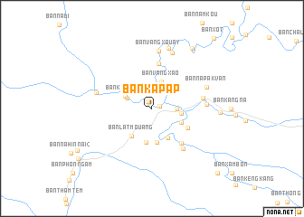
Ban Kapap (Khammouan, Laos)Ban Kapap is a town in the Khammouan region of Laos. An overview map of the region around Ban Kapap is displayed below.
regional and 3d topo map of Ban Kapap, Laos ::
Ban Kapap airports ::
The nearest airport is SNO - Sakon Nakhon, located 127.4 km south west of Ban Kapap.
Other airports nearby include ZVK - Savannakhet (186.6 km south), UTH - Udon Thani (216.6 km south west), Nearby towns ::
Ban Kèngbay (1.0km north west) //
Ban Phônhông (1.0km east) //
Ban Kèngkouang (2.9km east) //
Ban Kènghua (3.2km north west) //
Ban Vangxao (3.5km north) //
Ban Kènglat (3.5km north west) //
Ban Thabak (3.5km east) //
Ban Sôpkat (3.9km south east) //
Ban Kagna (4.1km south east) //
Ban Nongkok (4.2km south) //
Ban Latmouang (4.1km south west) //
Ban Kèngxoun (4.3km south) //
Ban Namkat (4.8km south east) //
Ban Katôk (5.5km south east) //
Ban Thasala (5.6km north) //
Ban Phônlôm (6.2km south east) //
Ban Phônmuang (6.2km east) //
Ban Pakha (6.4km east) //
Ban Vangxouay (7.1km north) //
Ban Kèngbit (6.9km west) //
Ban Napakvan (6.9km east) //
Ban Thasôm (7.3km north) //
Ban Phiangdôn (7.7km north) //
Ban Phôntan (8.0km east) //
Ban Phabang (8.8km north east) //
Ban Nakham (3) (11.0km south east) //
Ban Xot (11.2km north east) //
[all distances 'as the bird flies' and approximate] 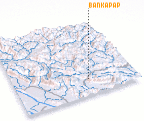 Places with similar names to Ban Kapap, Laos :: Disclaimer :: Information on this page comes without warranty of any kind |
||
|
Where is Ban Kapap? Elevation and coordinates ::
Latitude (lat): 18°14'17"N Longitude (lon): 104°37'39"E
Elevation (approx.): 411m (map arrows pan, magnifying glasses zoom) |
||
|
Visiting Ban Kapap? Hotel/Accommodation ::
Book a hotel in Ban Kapap Travel Guide ::
Buy a travel guide for Laos rental cars ::
car rental offers GPS waypoint ::
download a GPX waypoint (PoI) of Ban Kapap for your GPS receiver
|
||