|
search place name
|
||
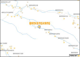
Ban Kengkang (Khammouan, Laos)Ban Kengkang is a town in the Khammouan region of Laos. An overview map of the region around Ban Kengkang is displayed below.
regional and 3d topo map of Ban Kengkang, Laos ::
Ban Kengkang airports ::
The nearest airport is SNO - Sakon Nakhon, located 124.6 km south west of Ban Kengkang.
Other airports nearby include ZVK - Savannakhet (176.3 km south), UTH - Udon Thani (223.7 km west), Nearby towns ::
Ban Nakam (2.2km west) //
Ban Xambon (3.2km north west) //
Ban Nongxông (3.3km south east) //
Ban Thông (4.2km south east) //
Ban Nakham (3) (4.7km north west) //
Ban Phamuang (7.6km south east) //
Muang Khamkeut (8.4km north) //
Ban Phônlôm (9.7km north west) //
Ban Namkat (10.8km north west) //
Ban Khouasoung (10.9km north east) //
[all distances 'as the bird flies' and approximate] 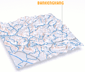 Places with similar names to Ban Kengkang, Laos ::
// Ban Ao Kongkang (TH)
// Ban Kong Kong (TH)
// Ban Kangkuang (LA)
// Ban Kèng Kang (LA)
// Ban Kèngkouang (LA)
// Ban Kèng Kouong (LA)
Disclaimer :: Information on this page comes without warranty of any kind |
||
|
Where is Ban Kengkang? Elevation and coordinates ::
Latitude (lat): 18°8'59"N Longitude (lon): 104°44'28"E
Elevation (approx.): 446m (map arrows pan, magnifying glasses zoom) |
||
|
Visiting Ban Kengkang? Hotel/Accommodation ::
Book a hotel in Ban Kengkang Travel Guide ::
Buy a travel guide for Laos rental cars ::
car rental offers GPS waypoint ::
download a GPX waypoint (PoI) of Ban Kengkang for your GPS receiver
|
||