|
search place name
|
||
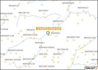
Ban Khôknang (Louangphrabang, Laos)Ban Khôknang is a town in the Louangphrabang region of Laos. An overview map of the region around Ban Khôknang is displayed below.
regional and 3d topo map of Ban Khôknang, Laos ::
Ban Khôknang airports ::
The nearest airport is LPQ - Luang Prabang Luang Phabang Intl, located 44.7 km south of Ban Khôknang.
Nearby towns ::
Ban Phavi (2.6km east) //
Ban Nanoy (5.1km south west) //
Ban Hat-Hai (5.4km north east) //
Ban Sènsoulin (5.4km west) //
Ban Bolék (5.5km west) //
Ban Phoukhoang (5.9km south) //
Ban Kang (7.0km north) //
Ban Muangtèng (6.6km west) //
Ban Houaylè (6.9km east) //
Ban Môkmuang (7.4km south east) //
Ban Houaykok (8.3km south) //
Ban Thong (8.4km north) //
Ban Tao Hinh (8.3km south east) //
Ban Pho Nêk (8.6km south) //
Ban Lôko (8.7km south) //
Ban Pho Yi (9.1km south) //
Ban Houaykun (9.3km south west) //
Ban Koun Noy (10.0km south west) //
Ban Simôngkhoun (10.0km north east) //
Ban Namnga (11.2km north east) //
[all distances 'as the bird flies' and approximate] 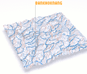 Places with similar names to Ban Khôknang, Laos ::
// Ban Khagnong (LA)
Disclaimer :: Information on this page comes without warranty of any kind |
||
|
Where is Ban Khôknang? Elevation and coordinates ::
Latitude (lat): 20°17'34"N Longitude (lon): 102°15'5"E
Elevation (approx.): 355m (map arrows pan, magnifying glasses zoom) |
||
|
Visiting Ban Khôknang? Hotel/Accommodation ::
Book a hotel in Ban Khôknang Travel Guide ::
Buy a travel guide for Laos rental cars ::
car rental offers GPS waypoint ::
download a GPX waypoint (PoI) of Ban Khôknang for your GPS receiver
|
||