|
search place name
|
||
Ban Pomphou (Laos)Ban Pomphou is a town in Laos. An overview map of the region around Ban Pomphou is displayed below.
regional and 3d topo map of Ban Pomphou, Laos ::

Ban Pomphou airports ::
The nearest airport is LPQ - Luang Prabang Luang Phabang Intl, located 84.3 km north west of Ban Pomphou.
Other airports nearby include VTE - Vientiane Wattay Intl (134.4 km south), UTH - Udon Thani (203.3 km south), LOE - Loei (210.9 km south), Nearby towns ::
Ban Houayphadèng (NaNkm north) //
Ban Thamlèk (3.5km west) //
Ban Phadeng (5.1km north west) //
Ban Namnoy (5.1km south east) //
Ban Napan (5.6km west) //
Ban Phatoum (6.6km north east) //
Ban Souang (6.6km south east) //
Ban Makphang (7.4km south) //
Ban Phak-Lan (7.4km south) //
Ban Bouakmèo (7.6km north) //
Ban Soumphai (2) (7.6km south west) //
Ban Nagnè (7.9km south west) //
Ban Soumphai (7.9km south west) //
Ban Langpha (7.9km north west) //
Ban Longphakphèo (8.2km north west) //
Ban Kho (8.2km south west) //
Ban Thin-on (8.2km south east) //
Ban Vatkèo (8.2km south east) //
Ban Phounamhouat (8.9km north east) //
Ban Long-Ou (10.2km north west) //
[all distances 'as the bird flies' and approximate] 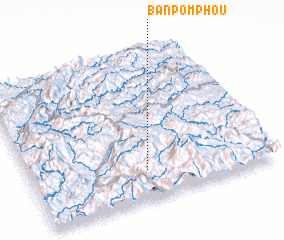 Places with similar names to Ban Pomphou, Laos ::
// Bản Poum Vay (VN)
Disclaimer :: Information on this page comes without warranty of any kind |
||
|
Where is Ban Pomphou? Elevation and coordinates ::
Latitude (lat): 19°12'0"N Longitude (lon): 102°29'0"E
Elevation (approx.): 1106m (map arrows pan, magnifying glasses zoom) |
||
|
Visiting Ban Pomphou? Hotel/Accommodation ::
Book a hotel in Ban Pomphou Travel Guide ::
Buy a travel guide for Laos rental cars ::
car rental offers GPS waypoint ::
download a GPX waypoint (PoI) of Ban Pomphou for your GPS receiver
|
||