|
search place name
|
||
Ban Talak (Laos)Ban Talak is a town in Laos. An overview map of the region around Ban Talak is displayed below.
regional and 3d topo map of Ban Talak, Laos ::

Ban Talak airports ::
The nearest airport is ZVK - Savannakhet, located 146.8 km south west of Ban Talak.
Other airports nearby include SNO - Sakon Nakhon (166.6 km west), Nearby towns ::
Ban Nathin (3.5km west) //
Ban Phôndua (5.6km east) //
Ban Pôngdông (5.6km east) //
Ban That (6.5km south east) //
Ban Sang (7.1km west) //
Ban Thôngkham (8.0km south east) //
Ban Nahom (8.0km south east) //
Ban Nachat (8.0km south east) //
[all distances 'as the bird flies' and approximate] 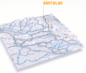 Places with similar names to Ban Talak, Laos ::
// Bentlake (DE)
// Ban Ta Luak (TH)
// Ban Ta Luak (TH)
// Ban Ta Luak (TH)
// Ban Tao Lao (2) (TH)
// Ban Tao Lek (TH)
// Benidoleig (ES)
// Bintilak (BD)
// Bandlukh (PK)
// Ban Talèo (2) (LA)
Disclaimer :: Information on this page comes without warranty of any kind |
||
|
Where is Ban Talak? Elevation and coordinates ::
Latitude (lat): 17°35'0"N Longitude (lon): 105°38'0"E
Elevation (approx.): 249m (map arrows pan, magnifying glasses zoom) |
||
|
Visiting Ban Talak? Hotel/Accommodation ::
Book a hotel in Ban Talak Travel Guide ::
Buy a travel guide for Laos rental cars ::
car rental offers GPS waypoint ::
download a GPX waypoint (PoI) of Ban Talak for your GPS receiver
|
||