|
search place name
|
||
Tatyarai (Laos)Tatyarai is a town in Laos. An overview map of the region around Tatyarai is displayed below.
regional and 3d topo map of Tatyarai, Laos ::

Tatyarai airports ::
The nearest airport is ZVK - Savannakhet, located 188.5 km west of Tatyarai.
Other airports nearby include PKZ - Pakse (193.9 km south west), DAD - Danang Intl (195.3 km south east), Nearby towns ::
Làng Klor (0.0km north) //
Làng Seu Moun (1.9km south) //
Ban But (1.9km north) //
Ban Na (1.9km north) //
Ban Xoaymuang (1.8km west) //
Ban Taria (3.5km west) //
Làng Alia (4.0km south east) //
Làng Pelo (4.0km south east) //
Làng Rliac (4.1km south west) //
Ban Thouy (4.1km north west) //
Ban Tèp (4.0km north west) //
Ban Sén (3) (5.3km west) //
Ban Langhô (5.6km north) //
Ban Takôk (5.3km west) //
Ban Sén (1) (5.6km west) //
Ấp Làng Sen (5.6km east) //
Ban Tien Bot (5.8km south) //
Ban Raxôm (5.6km west) //
Ban Taloy (1) (5.8km north) //
Ban Payout (5) (5.8km south) //
Xá Lưu (6.5km north east) //
Ban Taloy (4) (6.6km north west) //
Ban Payout (1) (6.6km south west) //
Ấp A Ðua (7.1km east) //
Ban Chakup (7.1km west) //
Ban Rapo (7.1km west) //
Ban Ala (7.4km north) //
Ban Namangtouang (7.4km north) //
Ấp Làng Tre (7.3km east) //
[all distances 'as the bird flies' and approximate] 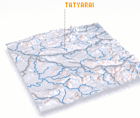 Places with similar names to Tatyarai, Laos ::
// Daddy Aro (NG)
Disclaimer :: Information on this page comes without warranty of any kind |
||
|
Where is Tatyarai? Elevation and coordinates ::
Latitude (lat): 16°44'0"N Longitude (lon): 106°31'0"E
Elevation (approx.): 480m (map arrows pan, magnifying glasses zoom) |
||
|
Visiting Tatyarai? Hotel/Accommodation ::
Book a hotel in Tatyarai Travel Guide ::
Buy a travel guide for Laos rental cars ::
car rental offers GPS waypoint ::
download a GPX waypoint (PoI) of Tatyarai for your GPS receiver
|
||