|
search place name
|
||
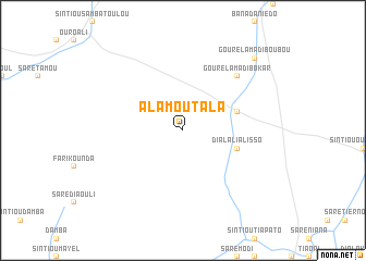
Alamoutala (Mali)Alamoutala is a town in Mali. An overview map of the region around Alamoutala is displayed below.
regional and 3d topo map of Alamoutala, Mali ::
Alamoutala airports ::
The nearest airport is TUD - Tambacounda, located 30.9 km south of Alamoutala.
Other airports nearby include BXE - Bakel (167.0 km north east), SEY - Selibabi Selibady (211.4 km north east), KGG - Kedougou (229.0 km south east), Nearby towns ::
Dialali Alisso (5.7km east) //
Ouro Demba Binnta (5.7km east) //
Gourel Amadi Bokar (7.7km north east) //
Gourel Amadi Boubou (10.3km north east) //
[all distances 'as the bird flies' and approximate] 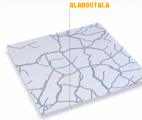 Places with similar names to Alamoutala, Mali ::
// Al Metlaoui (TN)
// Alamedilla (ES)
// Ālamtala (BD)
// Al Mudaylī (OM)
// Al Maţla‘ (IQ)
// Al Ma‘dilah (LB)
// Al Maḑla‘ah (YE)
// Al Mţaylah (LB)
// Al Mţullah (LB)
// Al Mţullah (LB)
Disclaimer :: Information on this page comes without warranty of any kind |
||
|
Where is Alamoutala? Elevation and coordinates ::
Latitude (lat): 14°0'0"N Longitude (lon): 13°45'0"W
Elevation (approx.): 55m (map arrows pan, magnifying glasses zoom) |
||
|
Visiting Alamoutala? Hotel/Accommodation ::
Book a hotel in Alamoutala Travel Guide ::
Buy a travel guide for Mali rental cars ::
car rental offers GPS waypoint ::
download a GPX waypoint (PoI) of Alamoutala for your GPS receiver
|
||