|
search place name
|
||
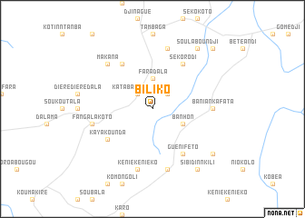
Biliko (Mali)Biliko is a town in Mali. An overview map of the region around Biliko is displayed below.
regional and 3d topo map of Biliko, Mali ::
Biliko airports ::
The nearest airport is BKO - Bamako Senou, located 211.7 km east of Biliko.
Other airports nearby include KYS - Kayes Dag Dag (242.7 km north west), Nearby towns ::
Katabantankoto (2.6km north west) //
Guénibafé (2.6km north east) //
Faradala (3.7km north) //
Banhon (4.1km south east) //
Arguéto (6.6km north west) //
Kayakounda (6.6km south west) //
Sékorodi (6.6km north east) //
Guéniféto (6.6km south east) //
Baniankafata (7.2km east) //
Fangalakoto (7.5km west) //
Kéniékéniéko (7.6km south) //
Bougaribaya (7.6km south) //
Katakoto (7.6km north) //
Makana (7.8km north west) //
Sibidinnkili (9.2km south east) //
Soulaboundji (9.2km north east) //
Baniakafata (9.1km south east) //
Kantila (10.4km north east) //
[all distances 'as the bird flies' and approximate] 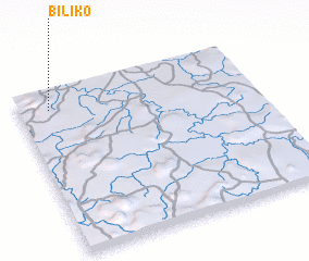 Places with similar names to Biliko, Mali ::
Disclaimer :: Information on this page comes without warranty of any kind |
||
|
Where is Biliko? Elevation and coordinates ::
Latitude (lat): 12°53'0"N Longitude (lon): 9°52'0"W
Elevation (approx.): 328m (map arrows pan, magnifying glasses zoom) |
||
|
Visiting Biliko? Hotel/Accommodation ::
Book a hotel in Biliko Travel Guide ::
Buy a travel guide for Mali rental cars ::
car rental offers GPS waypoint ::
download a GPX waypoint (PoI) of Biliko for your GPS receiver
|
||