|
search place name
|
||
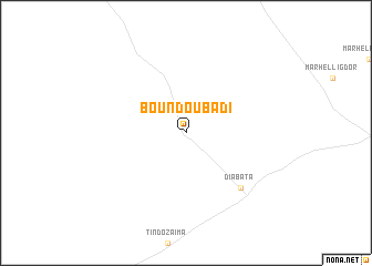
Boundoubadi (Mali)Boundoubadi is a town in Mali. An overview map of the region around Boundoubadi is displayed below.
regional and 3d topo map of Boundoubadi, Mali ::
Boundoubadi airports ::
The nearest airport is MZI - Mopti Ambodedjo, located 173.0 km south east of Boundoubadi.
Nearby towns ::
Diabata (7.7km south east) //
[all distances 'as the bird flies' and approximate] 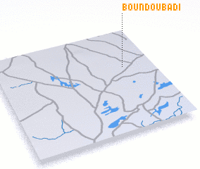 Places with similar names to Boundoubadi, Mali ::
// Ban Ta Bat (TH)
// Ban Tab Tao (TH)
// Binodbaid (BD)
// Binodebāti (BD)
// Bontobaddo (ID)
// Bontobatu (ID)
// Bāndi Bata (PK)
// Bandouboto (GN)
// Bontobotoa (ID)
// Bandābād (AF)
Disclaimer :: Information on this page comes without warranty of any kind |
||
|
Where is Boundoubadi? Elevation and coordinates ::
Latitude (lat): 15°39'0"N Longitude (lon): 5°11'0"W
Elevation (approx.): 276m (map arrows pan, magnifying glasses zoom) |
||
|
Visiting Boundoubadi? Hotel/Accommodation ::
Book a hotel in Boundoubadi Travel Guide ::
Buy a travel guide for Mali rental cars ::
car rental offers GPS waypoint ::
download a GPX waypoint (PoI) of Boundoubadi for your GPS receiver
|
||