|
search place name
|
||
Fatiguila (Mali)Fatiguila is a town in Mali. An overview map of the region around Fatiguila is displayed below.
regional and 3d topo map of Fatiguila, Mali ::

Fatiguila airports ::
The nearest airport is BOY - Bobo-dioulasso Bobo Dioulasso, located 199.2 km east of Fatiguila.
Other airports nearby include BKO - Bamako Senou (223.5 km north west), Nearby towns ::
Kérémékoro (4.1km north east) //
Séguénéni (5.4km east) //
Bouara (6.6km south east) //
Yélékéla (8.1km north west) //
Irinnkasso (9.2km south west) //
[all distances 'as the bird flies' and approximate] 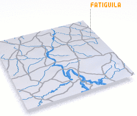 Places with similar names to Fatiguila, Mali ::
// Vatkul' (RU)
// Vidigal (PT)
// Vadokliai (LT)
// Viduklė (LT)
// Vytogala (LT)
// Vatuguili (TP)
// Vatkelī (IR)
// Fateh Kili (PK)
// Fateh Kili (PK)
// Fattu Kili (PK)
Disclaimer :: Information on this page comes without warranty of any kind |
||
|
Where is Fatiguila? Elevation and coordinates ::
Latitude (lat): 11°46'0"N Longitude (lon): 6°3'0"W
Elevation (approx.): 317m (map arrows pan, magnifying glasses zoom) |
||
|
Visiting Fatiguila? Hotel/Accommodation ::
Book a hotel in Fatiguila Travel Guide ::
Buy a travel guide for Mali rental cars ::
car rental offers GPS waypoint ::
download a GPX waypoint (PoI) of Fatiguila for your GPS receiver
|
||