|
search place name
|
||
Maniankoura (Mali)Maniankoura is a town in Mali. An overview map of the region around Maniankoura is displayed below.
regional and 3d topo map of Maniankoura, Mali ::

Maniankoura airports ::
The nearest airport is BKO - Bamako Senou, located 195.6 km east of Maniankoura.
Other airports nearby include KYS - Kayes Dag Dag (280.2 km north west), Nearby towns ::
Loulonto (2.6km north east) //
Dounbaga (3.7km north) //
Kousso (4.1km north west) //
Sitakoto (5.2km north east) //
Sékoto (5.6km north) //
Kamita (5.6km south) //
Gouroutini (5.4km west) //
Kokounba (5.7km east) //
Marinntouména (7.4km north) //
Fodébougou (7.2km west) //
Ségouma (7.6km south) //
Finala (7.6km north) //
Makanakoto (7.5km east) //
Sagabari (7.8km north west) //
Soundia (9.2km south west) //
Sékofata (10.4km north west) //
[all distances 'as the bird flies' and approximate] 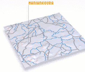 Places with similar names to Maniankoura, Mali ::
// Manina Gora (RU)
// Manongaroa (MG)
// Manongory (MG)
// Miniankoro (BF)
// Mainānagar (IN)
// Manankoro (GN)
// Manankoro (GN)
// Manankoro (ML)
// Manunuquero (MZ)
Disclaimer :: Information on this page comes without warranty of any kind |
||
|
Where is Maniankoura? Elevation and coordinates ::
Latitude (lat): 12°32'0"N Longitude (lon): 9°45'0"W
Elevation (approx.): 406m (map arrows pan, magnifying glasses zoom) |
||
|
Visiting Maniankoura? Hotel/Accommodation ::
Book a hotel in Maniankoura Travel Guide ::
Buy a travel guide for Mali rental cars ::
car rental offers GPS waypoint ::
download a GPX waypoint (PoI) of Maniankoura for your GPS receiver
|
||