|
search place name
|
||
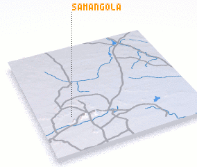
Samangola (Mali)Samangola is a town in Mali. An overview map of the region around Samangola is displayed below.
regional and 3d topo map of Samangola, Mali ::

Samangola airports ::
The nearest airport is TOM - Tombouctou, located 201.2 km north west of Samangola.
Other airports nearby include GAQ - Gao (214.9 km north east), Nearby towns ::
 Places with similar names to Samangola, Mali ::
// Zamankul (RU)
// Sémankalé (BJ)
// Samungole (ZM)
// Samnā Kolā (IR)
// Zamān Kili (PK)
// Samanguilla (PE)
// Suman-gol (KP)
// Samanguila (GQ)
// Simonkylä (FI)
// Samungli (PK)
Disclaimer :: Information on this page comes without warranty of any kind |
||
|
Where is Samangola? Elevation and coordinates ::
Latitude (lat): 15°21'0"N Longitude (lon): 1°47'0"W
Elevation (approx.): 300m (map arrows pan, magnifying glasses zoom) |
||
|
Visiting Samangola? Hotel/Accommodation ::
Book a hotel in Samangola Travel Guide ::
Buy a travel guide for Mali rental cars ::
car rental offers GPS waypoint ::
download a GPX waypoint (PoI) of Samangola for your GPS receiver
|
||