|
search place name
|
||
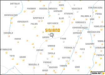
Sidiano (Koulikoro, Mali)Sidiano is a town in the Koulikoro region of Mali. An overview map of the region around Sidiano is displayed below.
regional and 3d topo map of Sidiano, Mali ::
Sidiano airports ::
The nearest airport is BKO - Bamako Senou, located 26.4 km north west of Sidiano.
Nearby towns ::
Tyènkouma (1.8km north west) //
Darani (2.3km south west) //
Farako Darani (3.9km north west) //
Konyikoro (4.0km north) //
Dabako (4.1km south) //
Tyèma (4.2km east) //
Samatokoro (5.5km west) //
Blan (6.6km north east) //
Tafèlè (6.7km south) //
Sébélakoro (7.0km north west) //
Konian (7.0km south west) //
Falani (7.2km north west) //
Tyénébougou (7.3km west) //
Tyènébougou (7.5km south west) //
Sirafouka (7.5km north west) //
Sourounara (7.8km south) //
Farakolé (7.7km south east) //
Sorondara (7.8km south) //
Sirafouka (8.0km north) //
Diandian (8.6km north) //
Darabougou (8.7km north east) //
Nazambougou (8.6km east) //
Ntènèmè (9.5km north east) //
Sèntinè (9.7km south east) //
Fayada (9.8km south east) //
Sirakoroni (9.9km north east) //
Diako (10.9km south east) //
[all distances 'as the bird flies' and approximate] 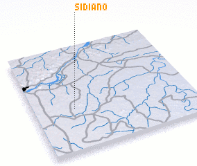 Places with similar names to Sidiano, Mali ::
Disclaimer :: Information on this page comes without warranty of any kind |
||
|
Where is Sidiano? Elevation and coordinates ::
Latitude (lat): 12°24'52"N Longitude (lon): 7°44'21"W
Elevation (approx.): 342m (map arrows pan, magnifying glasses zoom) |
||
|
Visiting Sidiano? Hotel/Accommodation ::
Book a hotel in Sidiano Travel Guide ::
Buy a travel guide for Mali rental cars ::
car rental offers GPS waypoint ::
download a GPX waypoint (PoI) of Sidiano for your GPS receiver
|
||