|
search place name
|
||
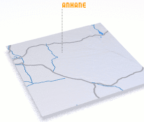
Anhane (Inhambane, Mozambique)Anhane is a town in the Inhambane region of Mozambique. An overview map of the region around Anhane is displayed below.
regional and 3d topo map of Anhane, Mozambique ::

Anhane airports ::
The nearest airport is VNX - Vilankulu Vilankulo, located 191.9 km east of Anhane.
Other airports nearby include BFO - Chiredzi Buffalo Range (240.1 km north west), INH - Inhambane (267.2 km south east), Nearby towns ::
 Places with similar names to Anhane, Mozambique ::
// Anahauan (PH)
// Anhauan (PH)
// Añahuani (BO)
// Anahuna (BO)
// Auenhain (DE)
// Anihani (KM)
// Anahon (TP)
// Anhane (MZ)
// ʼAïn Houinia (DZ)
// ʼAïn Ihanou (DZ)
Disclaimer :: Information on this page comes without warranty of any kind |
||
|
Where is Anhane? Elevation and coordinates ::
Latitude (lat): 22°15'40"S Longitude (lon): 33°28'16"E
Elevation (approx.): 134m (map arrows pan, magnifying glasses zoom) |
||
|
Visiting Anhane? Hotel/Accommodation ::
Book a hotel in Anhane Travel Guide ::
Buy a travel guide for Mozambique rental cars ::
car rental offers GPS waypoint ::
download a GPX waypoint (PoI) of Anhane for your GPS receiver
|
||