|
search place name
|
||
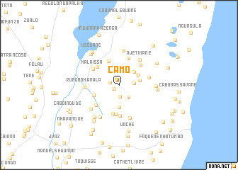
Camo (Inhambane, Mozambique)Camo is a town in the Inhambane region of Mozambique. An overview map of the region around Camo is displayed below.
regional and 3d topo map of Camo, Mozambique ::
Camo airports ::
The nearest airport is INH - Inhambane, located 17.1 km north of Camo.
Nearby towns ::
Talofo (0.9km south west) //
Cuaba Alari (1.3km west) //
Cat. Met. Episcopal (1.9km south) //
F. Sandique (2.0km north) //
Chefe Massuca (2.2km east) //
Chefe Mangavana (2.4km south east) //
Mechicane (3.0km north east) //
Chefe Bongo (3.1km east) //
V. Cuamba (3.2km north east) //
Taela Cume (3.5km south) //
Cabo F. Nhanale (4.1km north) //
G. Nhacula (4.0km south west) //
Camela (4.4km north) //
Raimundo Madivala (4.2km north west) //
Ofice (4.6km south) //
Cofe Guirugo (4.4km north east) //
Dejaze (4.7km south) //
Malaissa (4.5km north west) //
Senete (4.9km south) //
Nhuana (4.6km south west) //
Cat. Met. Episcopal (4.5km east) //
N. Jetimane (5.0km north east) //
Induna J. Macuàcua (5.4km north) //
F. Nhanala (5.4km south) //
Rungo Nhanala (5.0km west) //
Chefe Bahana (5.5km south west) //
Maoane (5.4km east) //
Chefe Dovane (5.8km south west) //
Chefe Massuque (5.6km east) //
[all distances 'as the bird flies' and approximate] 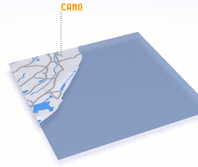 Places with similar names to Camo, Mozambique ::
Disclaimer :: Information on this page comes without warranty of any kind |
||
|
Where is Camo? Elevation and coordinates ::
Latitude (lat): 24°1'51"S Longitude (lon): 35°23'46"E
Elevation (approx.): 40m (map arrows pan, magnifying glasses zoom) |
||
|
Visiting Camo? Hotel/Accommodation ::
Book a hotel in Camo Travel Guide ::
Buy a travel guide for Mozambique rental cars ::
car rental offers GPS waypoint ::
download a GPX waypoint (PoI) of Camo for your GPS receiver
|
||