|
search place name
|
||
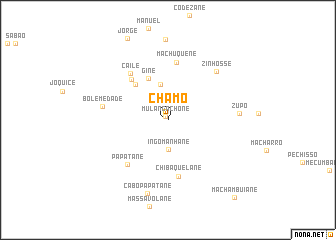
Chamo (Inhambane, Mozambique)Chamo is a town in the Inhambane region of Mozambique. An overview map of the region around Chamo is displayed below.
regional and 3d topo map of Chamo, Mozambique ::
Chamo airports ::
The nearest airport is VNX - Vilankulu Vilankulo, located 154.1 km east of Chamo.
Other airports nearby include INH - Inhambane (223.5 km south east), Nearby towns ::
Mulangachone (0.4km north west) //
Ingomanhane (3.3km south) //
Balane (4.0km north) //
Gine (5.0km north west) //
Chizongue (5.2km north west) //
Maluzane (5.9km north west) //
Chibaquelane (6.4km south) //
Machuquene (6.5km north) //
Caile (6.5km north west) //
Papatane (6.5km south west) //
Bolemedade (6.9km west) //
Zinhosse (7.4km north east) //
Zupo (7.4km east) //
Cabo Papatane (8.5km south) //
Machambuiane (11.0km south east) //
[all distances 'as the bird flies' and approximate] 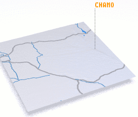 Places with similar names to Chamo, Mozambique ::
Disclaimer :: Information on this page comes without warranty of any kind |
||
|
Where is Chamo? Elevation and coordinates ::
Latitude (lat): 22°25'52"S Longitude (lon): 33°53'8"E
Elevation (approx.): 116m (map arrows pan, magnifying glasses zoom) |
||
|
Visiting Chamo? Hotel/Accommodation ::
Book a hotel in Chamo Travel Guide ::
Buy a travel guide for Mozambique rental cars ::
car rental offers GPS waypoint ::
download a GPX waypoint (PoI) of Chamo for your GPS receiver
|
||