|
search place name
|
||
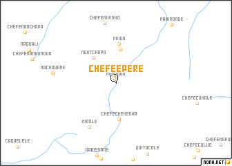
Chefe Epere (Niassa, Mozambique)Chefe Epere is a town in the Niassa region of Mozambique. An overview map of the region around Chefe Epere is displayed below.
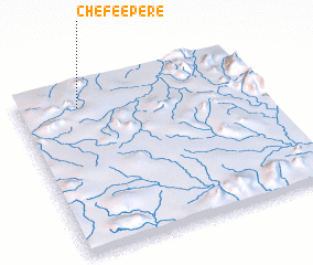
regional and 3d topo map of Chefe Epere, Mozambique ::
Chefe Epere airports ::
The nearest airport is BLZ - Blantyre Chileka Intl, located 150.5 km south west of Chefe Epere.
Other airports nearby include VXC - Lichinga (231.7 km north west), Nearby towns ::
 Places with similar names to Chefe Epere, Mozambique ::
// Choghā Pūr (IR)
// Shafīpur (BD)
// Shivāpur (IN)
// Shivpur (IN)
// Shivpur (IN)
// Shivpura (IN)
// Shivpurī (IN)
// Shoghapur (IN)
// Shivpur (PK)
// Chefe Porro (MZ)
Disclaimer :: Information on this page comes without warranty of any kind |
||
|
Where is Chefe Epere? Elevation and coordinates ::
Latitude (lat): 15°7'52"S Longitude (lon): 36°15'27"E
Elevation (approx.): 660m (map arrows pan, magnifying glasses zoom) |
||
|
Visiting Chefe Epere? Hotel/Accommodation ::
Book a hotel in Chefe Epere Travel Guide ::
Buy a travel guide for Mozambique rental cars ::
car rental offers GPS waypoint ::
download a GPX waypoint (PoI) of Chefe Epere for your GPS receiver
|
||