|
search place name
|
||
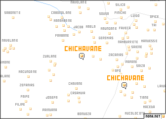
Chichavane (Inhambane, Mozambique)Chichavane is a town in the Inhambane region of Mozambique. An overview map of the region around Chichavane is displayed below.
regional and 3d topo map of Chichavane, Mozambique ::
Chichavane airports ::
The nearest airport is VNX - Vilankulu Vilankulo, located 98.9 km south east of Chichavane.
Other airports nearby include BEW - Beira (203.5 km north), Nearby towns ::
Chapo (2.3km east) //
Simione (3.7km east) //
Delemane (4.6km north east) //
Uaquechade (5.5km north east) //
Ganana (5.9km north) //
Jacob (6.2km north) //
Fambane (6.1km north west) //
Silva (6.0km west) //
Suacane (6.1km west) //
Geremias (6.3km north east) //
Maela (6.5km north) //
Chavane (6.7km south) //
Macassa (6.7km east) //
Zualane (6.8km west) //
Régulo Cubime (7.0km south west) //
Zacarias (7.2km east) //
Muchache (7.5km north west) //
Cabo Chichavane (7.5km east) //
Mahanhela (7.6km west) //
Changaveza (8.0km north) //
Maungane (8.1km north east) //
Casamuia (8.7km south) //
Mangomanhane (8.6km south) //
Muchotane (8.3km south west) //
Afo (8.3km south east) //
Marambane (8.7km north west) //
Joane (8.6km east) //
Chigamane (9.3km north west) //
Mazaze (9.7km north east) //
[all distances 'as the bird flies' and approximate] 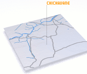 Places with similar names to Chichavane, Mozambique ::
// Cheshevān (IR)
// Cheshaven (US)
// Shīshavān (IR)
// Chichavane (MZ)
// Ch'i-shih-fen (TW)
// Shih-chiu-fen (TW)
// Shih-chiu-fen (TW)
Disclaimer :: Information on this page comes without warranty of any kind |
||
|
Where is Chichavane? Elevation and coordinates ::
Latitude (lat): 21°35'20"S Longitude (lon): 34°28'28"E
Elevation (approx.): 122m (map arrows pan, magnifying glasses zoom) |
||
|
Visiting Chichavane? Hotel/Accommodation ::
Book a hotel in Chichavane Travel Guide ::
Buy a travel guide for Mozambique rental cars ::
car rental offers GPS waypoint ::
download a GPX waypoint (PoI) of Chichavane for your GPS receiver
|
||