|
search place name
|
||
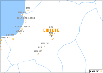
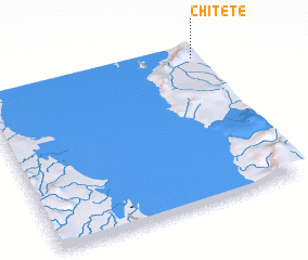
Chitete (Niassa, Mozambique)Chitete is a town in the Niassa region of Mozambique. An overview map of the region around Chitete is displayed below.
regional and 3d topo map of Chitete, Mozambique ::
Chitete airports ::
The nearest airport is ZZU - Mzuzu, located 126.3 km north west of Chitete.
Other airports nearby include VXC - Lichinga (136.6 km south), LLW - Lilongwe Kamuzu Intl (230.3 km south west), Nearby towns ::
 Places with similar names to Chitete, Mozambique ::
// Chiatat (MA)
// Tiouddit (MA)
// Shadowwood (US)
// Chitid (RO)
// Chododa (RU)
// Shadīdah (IQ)
// Chāh Tūt (IR)
// Shadow Wood (US)
// Shadow Wood (US)
// Chhātādda (BD)
Disclaimer :: Information on this page comes without warranty of any kind |
||
|
Where is Chitete? Elevation and coordinates ::
Latitude (lat): 12°4'17"S Longitude (lon): 34°58'48"E
Elevation (approx.): 715m (map arrows pan, magnifying glasses zoom) |
||
|
Visiting Chitete? Hotel/Accommodation ::
Book a hotel in Chitete Travel Guide ::
Buy a travel guide for Mozambique rental cars ::
car rental offers GPS waypoint ::
download a GPX waypoint (PoI) of Chitete for your GPS receiver
|
||