|
search place name
|
||
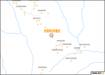
Marimbe (Sofala, Mozambique)Marimbe is a town in the Sofala region of Mozambique. An overview map of the region around Marimbe is displayed below.
regional and 3d topo map of Marimbe, Mozambique ::
Marimbe airports ::
The nearest airport is BEW - Beira, located 104.2 km north east of Marimbe.
Other airports nearby include VNX - Vilankulu Vilankulo (205.7 km south east), Nearby towns ::
Menacho (3.0km south east) //
Vumonhe (3.4km south east) //
Mapinhe (3.4km south east) //
Motine (4.1km south) //
Chinharo (4.2km south east) //
Zivananhe (4.4km north west) //
Monquendo (5.7km south) //
Mandabo (5.9km south east) //
José (6.2km north west) //
Manuel (6.8km north west) //
Chiriro (7.7km north west) //
Dazola (8.0km north west) //
Machule (8.8km north) //
Vumbira (9.5km north) //
Magogomela (9.3km south east) //
Nhamo (9.5km south east) //
Nhalongue (10.4km south east) //
[all distances 'as the bird flies' and approximate] 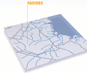 Places with similar names to Marimbe, Mozambique ::
Disclaimer :: Information on this page comes without warranty of any kind |
||
|
Where is Marimbe? Elevation and coordinates ::
Latitude (lat): 20°28'21"S Longitude (lon): 34°12'51"E
Elevation (approx.): 103m (map arrows pan, magnifying glasses zoom) |
||
|
Visiting Marimbe? Hotel/Accommodation ::
Book a hotel in Marimbe Travel Guide ::
Buy a travel guide for Mozambique rental cars ::
car rental offers GPS waypoint ::
download a GPX waypoint (PoI) of Marimbe for your GPS receiver
|
||