|
search place name
|
||
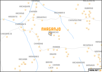
Nhaganjo (Sofala, Mozambique)Nhaganjo is a town in the Sofala region of Mozambique. An overview map of the region around Nhaganjo is displayed below.
regional and 3d topo map of Nhaganjo, Mozambique ::
Nhaganjo airports ::
The nearest airport is BEW - Beira, located 133.6 km north east of Nhaganjo.
Other airports nearby include VNX - Vilankulu Vilankulo (247.8 km south east), Nearby towns ::
Muchucho (1.1km east) //
Denje (2.7km east) //
Mussalara (2.9km east) //
Chupo (4.3km west) //
Chicanduanhe (4.6km west) //
Guireca (5.1km south) //
Massacage (5.2km south) //
Chanhamasse (5.1km west) //
Nhaboa (5.5km south) //
Chimenho (5.7km south west) //
Manguazene (6.2km east) //
Maguenhe (6.6km north west) //
Chipambo (6.6km south west) //
Melumuzane (7.0km south east) //
Macundinharga (7.1km north west) //
Caqui (7.2km west) //
Marele (7.4km west) //
Mauira (7.9km south) //
Churangure (7.9km south east) //
Mazimbana (8.2km north) //
Ressamo (8.6km north west) //
Mavungue (9.0km south east) //
Meziana (9.2km north west) //
Tica (9.4km south east) //
Buunhe (9.7km north west) //
Chirara (9.9km north west) //
Manhumbo (10.5km south west) //
[all distances 'as the bird flies' and approximate] 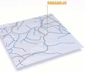 Places with similar names to Nhaganjo, Mozambique :: Disclaimer :: Information on this page comes without warranty of any kind |
||
|
Where is Nhaganjo? Elevation and coordinates ::
Latitude (lat): 20°19'17"S Longitude (lon): 33°45'29"E
Elevation (approx.): 243m (map arrows pan, magnifying glasses zoom) |
||
|
Visiting Nhaganjo? Hotel/Accommodation ::
Book a hotel in Nhaganjo Travel Guide ::
Buy a travel guide for Mozambique rental cars ::
car rental offers GPS waypoint ::
download a GPX waypoint (PoI) of Nhaganjo for your GPS receiver
|
||