|
search place name
|
||
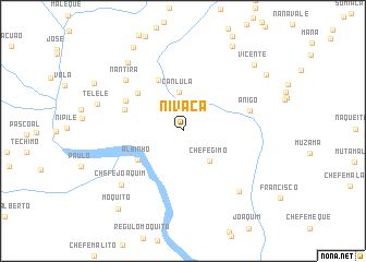
Nivaca (Nampula, Mozambique)Nivaca is a town in the Nampula region of Mozambique. An overview map of the region around Nivaca is displayed below.
regional and 3d topo map of Nivaca, Mozambique ::
Nivaca airports ::
The nearest airport is APL - Nampula, located 99.6 km north of Nivaca.
Other airports nearby include MNC - Nacala (216.8 km north east), Nearby towns ::
Canlula (4.0km north) //
Chefe Gimo (4.0km south east) //
Albinho (5.4km south west) //
Namecóbuè (5.7km north west) //
Nametâmua (5.9km north west) //
Nachicúria (6.1km west) //
Anamaca (6.4km north west) //
Anigo (7.0km east) //
Nantira (7.7km north west) //
Chefe Joaquim (8.2km south west) //
Chefe Nelaxe (8.3km south east) //
Zaare (8.8km north west) //
Tèlelè (8.9km west) //
Saúde (9.8km north west) //
Vicente (9.7km north east) //
Muamucha (9.9km north east) //
Sicome (10.0km north east) //
Moquito (10.2km south west) //
[all distances 'as the bird flies' and approximate] 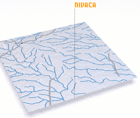 Places with similar names to Nivaca, Mozambique ::
// Növcü (AZ)
// Nghka (MM)
// Navco (US)
// Novaggio (CH)
// Néa Fókaia (GR)
// Néa Fókaia (GR)
// Nåvik (NO)
// Navikai (LT)
// Navikai (LT)
// Nevačka (BA)
Disclaimer :: Information on this page comes without warranty of any kind |
||
|
Where is Nivaca? Elevation and coordinates ::
Latitude (lat): 15°59'44"S Longitude (lon): 39°25'22"E
Elevation (approx.): 107m (map arrows pan, magnifying glasses zoom) |
||
|
Visiting Nivaca? Hotel/Accommodation ::
Book a hotel in Nivaca Travel Guide ::
Buy a travel guide for Mozambique rental cars ::
car rental offers GPS waypoint ::
download a GPX waypoint (PoI) of Nivaca for your GPS receiver
|
||