|
search place name
|
||
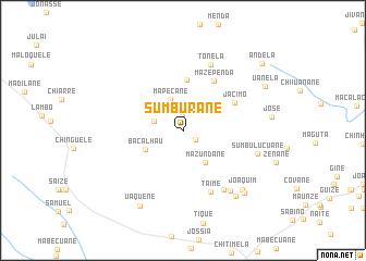
Sumburane (Inhambane, Mozambique)Sumburane is a town in the Inhambane region of Mozambique. An overview map of the region around Sumburane is displayed below.
regional and 3d topo map of Sumburane, Mozambique ::
Sumburane airports ::
The nearest airport is VNX - Vilankulu Vilankulo, located 135.8 km east of Sumburane.
Nearby towns ::
Meleca (1.4km north) //
Manuel (1.5km south east) //
Samiela (2.9km west) //
Mapecane (3.4km north) //
Mazundane (3.9km south east) //
Bacalhau (4.1km south west) //
João (5.2km north) //
Mazependa (5.9km north east) //
Jacimo (5.7km north east) //
Taime (6.9km south east) //
Tonela (7.3km north) //
Fulau (7.2km south east) //
Afo (7.6km south east) //
Sumbulucuane (7.5km east) //
Joaquim (8.3km south east) //
Maganhane (8.5km south east) //
Uaquene (8.8km south west) //
Milice (8.7km south east) //
Uanela (9.1km north east) //
Andela (10.2km north east) //
[all distances 'as the bird flies' and approximate] 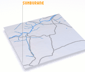 Places with similar names to Sumburane, Mozambique ::
Disclaimer :: Information on this page comes without warranty of any kind |
||
|
Where is Sumburane? Elevation and coordinates ::
Latitude (lat): 21°50'43"S Longitude (lon): 34°0'43"E
Elevation (approx.): 204m (map arrows pan, magnifying glasses zoom) |
||
|
Visiting Sumburane? Hotel/Accommodation ::
Book a hotel in Sumburane Travel Guide ::
Buy a travel guide for Mozambique rental cars ::
car rental offers GPS waypoint ::
download a GPX waypoint (PoI) of Sumburane for your GPS receiver
|
||