|
search place name
|
||
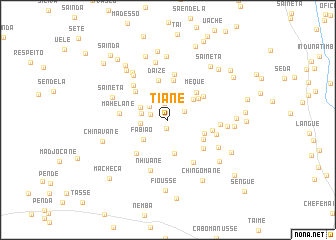
Tiane (Inhambane, Mozambique)Tiane is a town in the Inhambane region of Mozambique. An overview map of the region around Tiane is displayed below.
regional and 3d topo map of Tiane, Mozambique ::
Tiane airports ::
The nearest airport is VNX - Vilankulu Vilankulo, located 50.6 km south east of Tiane.
Other airports nearby include BEW - Beira (211.5 km north), Nearby towns ::
Paulo (0.9km south) //
Tonelane (1.8km north) //
Macauso (1.9km west) //
Solai (2.0km north east) //
Mopochosa (2.4km north west) //
Uachisso (2.8km north) //
Mangueze (2.9km north east) //
Zava (2.9km west) //
Laite (2.9km west) //
Laie (3.2km north west) //
Fabião (3.3km south west) //
Amela (3.5km north east) //
Induna Maquigue (3.8km south) //
Paunda (4.0km north east) //
Temane (4.0km east) //
Chefe Chitsecane (4.4km north) //
Meque (4.3km north east) //
Siquisse (4.3km south east) //
Daize (4.6km north) //
Timba (4.5km north east) //
Vele (4.6km north west) //
Finiasse (4.9km south east) //
Mastela (4.8km east) //
Chessecane (5.1km north) //
Chitsembane (5.0km south west) //
Sando (5.2km north west) //
Mahelane (5.1km west) //
Vicente (5.5km south east) //
Sechene (5.2km east) //
[all distances 'as the bird flies' and approximate] 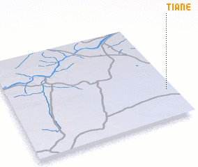 Places with similar names to Tiane, Mozambique ::
Disclaimer :: Information on this page comes without warranty of any kind |
||
|
Where is Tiane? Elevation and coordinates ::
Latitude (lat): 21°42'23"S Longitude (lon): 34°57'19"E
Elevation (approx.): 52m (map arrows pan, magnifying glasses zoom) |
||
|
Visiting Tiane? Hotel/Accommodation ::
Book a hotel in Tiane Travel Guide ::
Buy a travel guide for Mozambique rental cars ::
car rental offers GPS waypoint ::
download a GPX waypoint (PoI) of Tiane for your GPS receiver
|
||