|
search place name
|
||
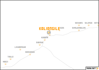
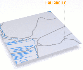
Kaliangile (Caprivi, Namibia)Kaliangile is a town in the Caprivi region of Namibia. An overview map of the region around Kaliangile is displayed below.
regional and 3d topo map of Kaliangile, Namibia ::
Kaliangile airports ::
The nearest airport is BBK - Kasane, located 139.5 km east of Kaliangile.
Other airports nearby include LVI - Livingstone (209.3 km east), VFA - Victoria Falls Intl (214.2 km east), Nearby towns ::
 Places with similar names to Kaliangile, Namibia ::
// Klengel (DE)
// Gli Angeli (IT)
// Gli Angeli (IT)
// Kalınağıl (TR)
// Kaliangila (ZM)
// Kaliangile (ZM)
// Kalunjele (ZM)
// Qelenjlū (IR)
// Klein-Agelo (NL)
// Glengyle (GB)
Disclaimer :: Information on this page comes without warranty of any kind |
||
|
Where is Kaliangile? Elevation and coordinates ::
Latitude (lat): 17°45'0"S Longitude (lon): 23°51'0"E
Elevation (approx.): 961m (map arrows pan, magnifying glasses zoom) |
||
|
Visiting Kaliangile? Hotel/Accommodation ::
Book a hotel in Kaliangile Travel Guide ::
Buy a travel guide for Namibia rental cars ::
car rental offers GPS waypoint ::
download a GPX waypoint (PoI) of Kaliangile for your GPS receiver
|
||