|
search place name
|
||
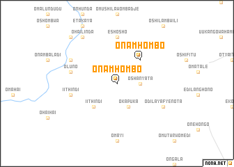
Onamhombo (Oshikoto, Namibia)Onamhombo is a town in the Oshikoto region of Namibia. An overview map of the region around Onamhombo is displayed below.
regional and 3d topo map of Onamhombo, Namibia ::
Onamhombo airports ::
The nearest airport is NGV - N'giva Ngiva, located 147.1 km north west of Onamhombo.
Other airports nearby include XGN - Xangongo (229.3 km north west), Nearby towns ::
Oshanyata (3.5km east) //
Okapuka (4.1km south east) //
Onamhombo (5.1km north east) //
Iithindi (5.1km south west) //
Eshosho (7.4km north) //
Oluno (7.3km west) //
Iithindi (7.3km west) //
Odilayafyenota (8.0km south east) //
Ohaipetekwa (8.0km north west) //
Ohailinda (9.1km north west) //
Etudilondjaba (10.2km north west) //
[all distances 'as the bird flies' and approximate] 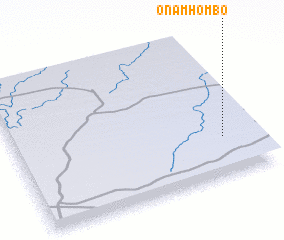
Disclaimer :: Information on this page comes without warranty of any kind |
||
|
Where is Onamhombo? Elevation and coordinates ::
Latitude (lat): 17°44'0"S Longitude (lon): 16°52'0"E
Elevation (approx.): 1139m (map arrows pan, magnifying glasses zoom) |
||
|
Visiting Onamhombo? Hotel/Accommodation ::
Book a hotel in Onamhombo Travel Guide ::
Buy a travel guide for Namibia rental cars ::
car rental offers GPS waypoint ::
download a GPX waypoint (PoI) of Onamhombo for your GPS receiver
|
||