|
search place name
|
||
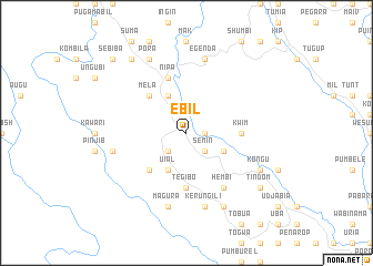
Ebil (Papua New Guinea)Ebil is a town in Papua New Guinea. An overview map of the region around Ebil is displayed below.
regional and 3d topo map of Ebil, Papua New Guinea ::
Ebil airports ::
The nearest airport is HGU - Mount Hagen, located 100.7 km north east of Ebil.
Other airports nearby include GKA - Goroka (213.5 km east), Nearby towns ::
Kombila (1.8km east) //
Hont (2.6km south east) //
Semin (2.6km south east) //
Korewal (2.6km south east) //
Orndol (2.6km south west) //
Uial (4.1km south west) //
Entua (4.1km south west) //
Injip (4.1km north west) //
Kware (4.1km north west) //
Hakura (4.1km south east) //
Mela (5.2km north west) //
Tabarip (5.2km south west) //
Ialal (5.2km north west) //
Tegibo (5.6km south) //
Askam (5.6km south) //
Kwim (5.5km east) //
Nipa (5.9km north) //
Hembi (6.7km south east) //
Egenda (7.6km north) //
Kerungili (7.6km south) //
Hebinja (7.6km west) //
Magura (7.6km south) //
Kongu (8.2km south east) //
Karanara (8.3km south east) //
Pora (8.3km north west) //
Tindom (9.2km south east) //
Boi'ia (9.2km north west) //
Ingirip (9.2km north west) //
Sebiba (10.5km north west) //
[all distances 'as the bird flies' and approximate] 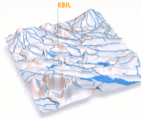 Places with similar names to Ebil, Papua New Guinea ::
Disclaimer :: Information on this page comes without warranty of any kind |
||
|
Where is Ebil? Elevation and coordinates ::
Latitude (lat): 6°12'0"S Longitude (lon): 143°28'0"E
Elevation (approx.): 1806m (map arrows pan, magnifying glasses zoom) |
||
|
Visiting Ebil? Hotel/Accommodation ::
Book a hotel in Ebil Travel Guide ::
rental cars ::
car rental offers GPS waypoint ::
download a GPX waypoint (PoI) of Ebil for your GPS receiver
|
||