|
search place name
|
||
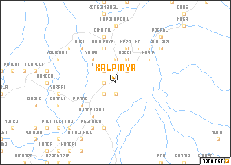
Kalpinya (Papua New Guinea)Kalpinya is a town in Papua New Guinea. An overview map of the region around Kalpinya is displayed below.
regional and 3d topo map of Kalpinya, Papua New Guinea ::
Kalpinya airports ::
The nearest airport is HGU - Mount Hagen, located 54.6 km north east of Kalpinya.
Other airports nearby include GKA - Goroka (153.1 km east), MAG - Madang (226.7 km north east), Nearby towns ::
Pegai'agu (1.9km south) //
Paubare (1.8km west) //
Agare (2.6km north east) //
Ponogama (2.6km north west) //
Kogoga (2.6km south west) //
Kongibugl (3.7km north) //
Maral (4.1km north east) //
Yombi (5.2km north west) //
Kero (5.9km north) //
Bimbienye (5.9km north) //
Kalabinie (6.7km north east) //
Ko (6.7km north east) //
Kobiri (6.7km north east) //
Iamjami (6.7km south west) //
Mungemabu (6.7km south west) //
Ialibu (6.7km south west) //
Kendagl (6.7km south west) //
Rienda (6.7km south west) //
Bimbiniu (7.6km north) //
Crocku (7.6km south) //
Pupu (7.8km north west) //
Ogai (7.8km north east) //
Kebigi (8.3km south west) //
Pegai'agu (8.3km south west) //
Puglpiri (9.2km north east) //
Kobilinye (9.2km north west) //
Pogadl (10.5km north east) //
Kisenpoi (10.5km north east) //
Aru (10.5km south west) //
[all distances 'as the bird flies' and approximate] 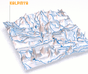 Places with similar names to Kalpinya, Papua New Guinea ::
// Kuala Penyu (MY)
Disclaimer :: Information on this page comes without warranty of any kind |
||
|
Where is Kalpinya? Elevation and coordinates ::
Latitude (lat): 6°14'0"S Longitude (lon): 144°1'0"E
Elevation (approx.): 2190m (map arrows pan, magnifying glasses zoom) |
||
|
Visiting Kalpinya? Hotel/Accommodation ::
Book a hotel in Kalpinya Travel Guide ::
rental cars ::
car rental offers GPS waypoint ::
download a GPX waypoint (PoI) of Kalpinya for your GPS receiver
|
||