|
search place name
|
||
Komonum (Papua New Guinea)Komonum is a town in Papua New Guinea. An overview map of the region around Komonum is displayed below.
regional and 3d topo map of Komonum, Papua New Guinea ::

Komonum airports ::
The nearest airport is GKA - Goroka, located 37.6 km north east of Komonum.
Other airports nearby include HGU - Mount Hagen (114.0 km north west), MAG - Madang (143.1 km north east), LAE - Nadzab (172.4 km east), Nearby towns ::
Gorangauma (1.8km west) //
Oimeri (1.9km south) //
Yoba (2.6km north west) //
Karum Number 2 (2.6km north west) //
Kiari (3.7km south) //
Yawai (4.1km north west) //
Kumo (4.1km south west) //
Bonei (4.1km south east) //
Yauma (4.1km south east) //
Minoi (5.5km west) //
Guselevi (5.5km east) //
Goro (5.9km north) //
Koi (5.9km north) //
Tabie Number 2 (5.9km north) //
Wai (5.8km west) //
Kurumuna (5.8km west) //
Waisime (5.8km west) //
Ku Number 2 (5.8km west) //
Kabari (5.8km west) //
Bimeri (5.9km north) //
Miori (5.9km north) //
Sua (5.9km north) //
Akari (5.8km east) //
Inigi (5.8km east) //
Nagiali (5.8km east) //
Norugabu (5.8km east) //
Kui (6.7km south west) //
Yagasa (6.7km south east) //
Ainagu (6.7km north east) //
[all distances 'as the bird flies' and approximate] 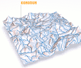 Places with similar names to Komonum, Papua New Guinea ::
// Gomen Āmba (ET)
// Quamnum (ET)
// Gombe-Niama (CD)
// Gombeniama (CD)
// Kamnamo (ZM)
// Kamnam (KR)
// Kamnum (PG)
// Kuminim (PG)
// Kumnamba (SO)
// Kâmnôm (KH)
Disclaimer :: Information on this page comes without warranty of any kind |
||
|
Where is Komonum? Elevation and coordinates ::
Latitude (lat): 6°21'0"S Longitude (lon): 145°11'0"E
Elevation (approx.): 1011m (map arrows pan, magnifying glasses zoom) |
||
|
Visiting Komonum? Hotel/Accommodation ::
Book a hotel in Komonum Travel Guide ::
rental cars ::
car rental offers GPS waypoint ::
download a GPX waypoint (PoI) of Komonum for your GPS receiver
|
||