|
search place name
|
||
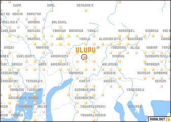
Ulupu (Papua New Guinea)Ulupu is a town in Papua New Guinea. An overview map of the region around Ulupu is displayed below.
regional and 3d topo map of Ulupu, Papua New Guinea ::
Ulupu airports ::
The nearest airport is WWK - Wewak Intl, located 60.2 km east of Ulupu.
Nearby towns ::
Unulum (0.0km north) //
Yoibu (1.9km south) //
Malba 2 Villages (1.8km west) //
Aunyalin Number 1 (1.8km east) //
Yenigo (2.6km south west) //
Yangasagu (2.6km south east) //
Malba 1 Villages (2.6km north west) //
Yalahin (2.6km north east) //
Kusanabu (3.7km south) //
Kwonbigum 1 (3.7km south) //
Yamil 3 (3.7km north) //
Naramgo (4.1km south west) //
Waigakum 2 (4.1km south west) //
Kalabu 2 (4.1km north west) //
Aunyalin Number 2 (4.1km south east) //
Yamil 1 (4.1km north east) //
Kalabu 1 (5.2km north west) //
Jame (5.2km north west) //
Chaulagunem (5.2km north east) //
Ilipaiem (5.2km north east) //
Kwatit (5.6km south) //
Waigakum 1 (5.5km west) //
Suanumbo (5.8km east) //
Gwalip 1 (5.8km east) //
Gwalip 2 (5.8km east) //
Walangai (5.8km east) //
Baranga (5.9km north) //
Waigakum 3 (5.8km west) //
Ahiglium (5.8km east) //
[all distances 'as the bird flies' and approximate] 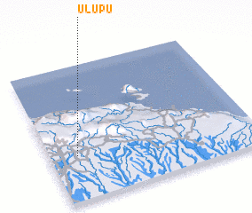 Places with similar names to Ulupu, Papua New Guinea ::
Disclaimer :: Information on this page comes without warranty of any kind |
||
|
Where is Ulupu? Elevation and coordinates ::
Latitude (lat): 3°40'0"S Longitude (lon): 143°8'0"E
Elevation (approx.): 200m (map arrows pan, magnifying glasses zoom) |
||
|
Visiting Ulupu? Hotel/Accommodation ::
Book a hotel in Ulupu Travel Guide ::
rental cars ::
car rental offers GPS waypoint ::
download a GPX waypoint (PoI) of Ulupu for your GPS receiver
|
||