|
search place name
|
||
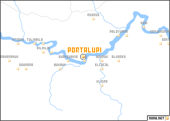
Portalupi (Región Autónoma Atlántico Norte, Nicaragua)Portalupi is a town in the Región Autónoma Atlántico Norte region of Nicaragua. An overview map of the region around Portalupi is displayed below.
regional and 3d topo map of Portalupi, Nicaragua ::
Portalupi airports ::
The nearest airport is PUZ - Puerto Cabezas, located 132.4 km south east of Portalupi.
Other airports nearby include GJA - Guanaja (254.6 km north west), Nearby towns ::
Wiwinak (0.0km north) //
Suak Suakia (3.6km west) //
Waspuk (3.6km east) //
El Cocal (4.0km south east) //
Bukbuk (5.7km west) //
Kligna (6.6km south east) //
Alvares (7.2km east) //
Nasma Almuk (7.4km west) //
Paloyumpa (9.1km north east) //
[all distances 'as the bird flies' and approximate] 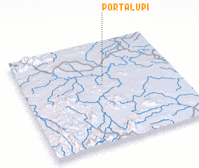 Places with similar names to Portalupi, Nicaragua :: Disclaimer :: Information on this page comes without warranty of any kind |
||
|
Where is Portalupi? Elevation and coordinates ::
Latitude (lat): 14°37'0"N Longitude (lon): 84°28'0"W
Elevation (approx.): 64m (map arrows pan, magnifying glasses zoom) |
||
|
Visiting Portalupi? Hotel/Accommodation ::
Book a hotel in Portalupi Travel Guide ::
Buy a travel guide for Nicaragua rental cars ::
car rental offers GPS waypoint ::
download a GPX waypoint (PoI) of Portalupi for your GPS receiver
|
||