|
search place name
|
||
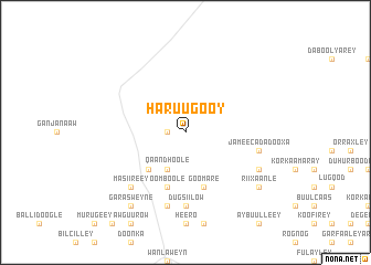
Haruugooy (Shabeellaha Hoose, Somalia)Haruugooy is a town in the Shabeellaha Hoose region of Somalia. An overview map of the region around Haruugooy is displayed below.
regional and 3d topo map of Haruugooy, Somalia ::
Nearby towns ::
Ciisaay (1.9km west) //
Aw Aamow Rooble (4.1km south west) //
Labagaras (4.1km south west) //
Qaan Dhoole (4.1km south west) //
Doonwaafle (5.2km south west) //
Goomare (5.9km south) //
Oomboole (5.9km south) //
Dugsiilow (7.4km south) //
Jameecada Dooxa (7.6km east) //
Haabsooy (7.6km east) //
Booraan (7.6km south) //
Masiireey (7.9km south west) //
Horgooy (8.3km south east) //
Qaaramey (9.3km south east) //
Rii Xaanle (9.3km south east) //
Garas Weyne (9.3km south west) //
[all distances 'as the bird flies' and approximate] 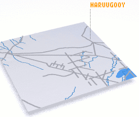 Places with similar names to Haruugooy, Somalia ::
Disclaimer :: Information on this page comes without warranty of any kind |
||
|
Where is Haruugooy? Elevation and coordinates ::
Latitude (lat): 2°44'0"N Longitude (lon): 44°55'0"E
Elevation (approx.): 96m (map arrows pan, magnifying glasses zoom) |
||
|
Visiting Haruugooy? Hotel/Accommodation ::
Book a hotel in Haruugooy Travel Guide ::
Buy a travel guide for Somalia rental cars ::
car rental offers GPS waypoint ::
download a GPX waypoint (PoI) of Haruugooy for your GPS receiver
|
||