|
search place name
|
||
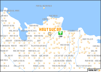
Haut du Cap (Nord, Haiti)Haut du Cap is a town in the Nord region of Haiti. An overview map of the region around Haut du Cap is displayed below.
regional and 3d topo map of Haut du Cap, Haiti ::
Haut du Cap airports ::
The nearest airport is CAP - Cap Haitien Intl, located 3.7 km east of Haut du Cap.
Other airports nearby include PAP - Port-au-prince Toussaint Louverture Intl (126.7 km south), POP - Puerto Plata Gregorio Luperon Intl (173.9 km east), STI - Santiago Cibao Intl (174.0 km east), BRX - Barahona Maria Montez Intl (200.4 km south east), Nearby towns ::
Bréda (0.2km south west) //
Charrier (0.6km north) //
Picard (0.9km west) //
Bauber (1.1km south) //
Lifèbe (1.1km south east) //
Vertières (1.2km north east) //
La Voûte (1.6km west) //
Camp Fort (1.9km north east) //
Caïman (2.4km south east) //
Ségur (2.4km south) //
Vaudreuil (2.3km west) //
Biclair (2.3km west) //
Carrefour Baudin (2.4km south east) //
Morne Cabone (2.5km north west) //
Balan (2.6km south east) //
Welch (2.9km south east) //
Breda (2.9km south east) //
Carrefour Laury (3.1km south) //
Georges (3.2km north east) //
Sainte-Philomène (3.2km north east) //
Dena (3.1km east) //
Fort Saint Michel (3.1km east) //
Baudin (3.1km east) //
Shada (3.2km east) //
Barrière Bouteille (3.4km north east) //
Dercaue (3.4km south west) //
Marécage (3.4km south west) //
Gaderas (3.7km north west) //
Choiseul (3.7km south east) //
[all distances 'as the bird flies' and approximate] 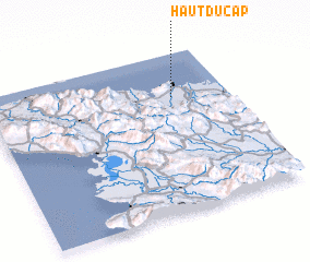 Places with similar names to Haut du Cap, Haiti :: Disclaimer :: Information on this page comes without warranty of any kind |
||
|
Where is Haut du Cap? Elevation and coordinates ::
Latitude (lat): 19°43'24"N Longitude (lon): 72°13'44"W
Elevation (approx.): 12m (map arrows pan, magnifying glasses zoom) |
||
|
Visiting Haut du Cap? Hotel/Accommodation ::
Book a hotel in Haut du Cap Travel Guide ::
Buy a travel guide for Haiti rental cars ::
car rental offers GPS waypoint ::
download a GPX waypoint (PoI) of Haut du Cap for your GPS receiver
|
||