|
search place name
|
||
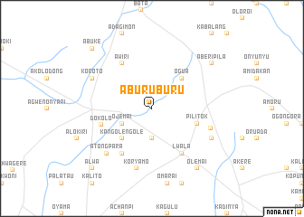
Aburuburu (Busoga, Uganda)Aburuburu is a town in the Busoga region of Uganda. An overview map of the region around Aburuburu is displayed below.
regional and 3d topo map of Aburuburu, Uganda ::
Aburuburu airports ::
The nearest airport is SRT - Soroti, located 48.1 km south east of Aburuburu.
Other airports nearby include KTL - Kitale (218.6 km south east), EBB - Entebbe Intl (225.1 km south west), Nearby towns ::
Aboru (1.9km north) //
Amuryei (2.6km north east) //
Kalere (3.7km south) //
Ojemai (4.1km south west) //
Kangolengole (5.2km south west) //
Ogua (5.2km north east) //
Pilitok (5.9km east) //
Dokolo (6.5km west) //
Atigo (6.7km south west) //
Awiri (6.7km north west) //
Lwala (6.7km south east) //
Koryamo (7.6km south) //
Otuboi (7.7km east) //
Atongpara (7.9km south west) //
Koroto (8.3km north west) //
Ochanga (8.3km south east) //
Aberipila (9.3km north east) //
Olemai (9.3km south east) //
Abuke (10.5km north west) //
Alwa (10.5km south west) //
[all distances 'as the bird flies' and approximate] 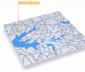
Disclaimer :: Information on this page comes without warranty of any kind |
||
|
Where is Aburuburu? Elevation and coordinates ::
Latitude (lat): 1°55'0"N Longitude (lon): 33°14'0"E
Elevation (approx.): 1094m (map arrows pan, magnifying glasses zoom) |
||
|
Visiting Aburuburu? Hotel/Accommodation ::
Book a hotel in Aburuburu Travel Guide ::
Buy a travel guide for Uganda rental cars ::
car rental offers GPS waypoint ::
download a GPX waypoint (PoI) of Aburuburu for your GPS receiver
|
||