|
search place name
|
||
Nakhupa (Busoga, Uganda)Nakhupa is a town in the Busoga region of Uganda. An overview map of the region around Nakhupa is displayed below.
regional and 3d topo map of Nakhupa, Uganda ::

Nakhupa airports ::
The nearest airport is KTL - Kitale, located 79.7 km east of Nakhupa.
Other airports nearby include SRT - Soroti (118.1 km north west), KIS - Kisumu (118.1 km south east), EDL - Eldoret Intl (121.4 km south east), EBB - Entebbe Intl (220.8 km south west), Nearby towns ::
Bugobero (0.9km south east) //
Nalondo (3.3km north) //
Bulako (3.7km west) //
Khabutola (4.1km north east) //
Sinya (4.1km south west) //
Busumbu (4.7km south east) //
Toma (7.1km north) //
Butiru (7.3km south east) //
Bumasikye (8.2km west) //
Lukhonge (8.3km north west) //
Nangya (8.3km north east) //
Musese (8.6km north west) //
Bubulo (9.0km north) //
Molo (9.1km south west) //
Bubutu (10.0km south east) //
Bukhaweka (10.6km north east) //
Tuba (11.2km south west) //
[all distances 'as the bird flies' and approximate] 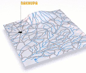
Disclaimer :: Information on this page comes without warranty of any kind |
||
|
Where is Nakhupa? Elevation and coordinates ::
Latitude (lat): 0°52'0"S Longitude (lon): 34°15'0"E
Elevation (approx.): 1255m (map arrows pan, magnifying glasses zoom) |
||
|
Visiting Nakhupa? Hotel/Accommodation ::
Book a hotel in Nakhupa Travel Guide ::
Buy a travel guide for Uganda rental cars ::
car rental offers GPS waypoint ::
download a GPX waypoint (PoI) of Nakhupa for your GPS receiver
|
||