|
search place name
|
||
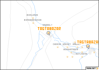
Tagtabazar (Mary, Turkmenistan)Tagtabazar is a town in the Mary region of Turkmenistan. An overview map of the region around Tagtabazar is displayed below.
regional and 3d topo map of Tagtabazar, Turkmenistan ::
Tagtabazar airports ::
The nearest airport is MMZ - Maimama Maimana, located 179.6 km east of Tagtabazar.
Other airports nearby include HEA - Herat (205.6 km south), Nearby towns ::
Dada-Ogly (2.8km north) //
Aul Urazaly (5.3km south east) //
Chemche (5.3km south east) //
Imeni Kaganovicha (6.8km north west) //
Urazaly (7.2km south east) //
Imeni Lenina (8.3km north west) //
Imeni Dimitrova (9.4km south east) //
Kara-Boyen (10.0km south east) //
Dadedogli (10.9km south east) //
[all distances 'as the bird flies' and approximate] 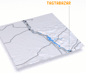 Places with similar names to Tagtabazar, Turkmenistan ::
// Tagtabazar (TM)
Disclaimer :: Information on this page comes without warranty of any kind |
||
|
Where is Tagtabazar? Elevation and coordinates ::
Latitude (lat): 36°0'30"N Longitude (lon): 62°46'20"E
Elevation (approx.): 335m (map arrows pan, magnifying glasses zoom) |
||
|
Visiting Tagtabazar? Hotel/Accommodation ::
Book a hotel in Tagtabazar Travel Guide ::
rental cars ::
car rental offers GPS waypoint ::
download a GPX waypoint (PoI) of Tagtabazar for your GPS receiver
|
||