|
search place name
|
||
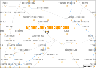
Dan Malam Yan Bougagué (Maradi, Niger)Dan Malam Yan Bougagué is a town in the Maradi region of Niger. An overview map of the region around Dan Malam Yan Bougagué is displayed below.
regional and 3d topo map of Dan Malam Yan Bougagué, Niger ::
Dan Malam Yan Bougagué airports ::
The nearest airport is MFG - Maradi, located 28.0 km south west of Dan Malam Yan Bougagué.
Other airports nearby include QUS - Gusau (182.3 km south), ZND - Zinder (189.4 km east), KAN - Kano Mallam Aminu Intl (233.3 km south east), THZ - Tahoua (247.1 km north west), Nearby towns ::
Karoussa (2.6km south east) //
Guidan Dombo (4.0km south west) //
Toumbouri (4.1km north west) //
Dan Bogaji (4.0km north east) //
Guidan Kaché (5.4km north west) //
Gangara (5.6km north) //
Batékoliawa (5.6km south) //
Kotoumbi (5.8km south) //
Dan Kadé (6.6km south east) //
Guidan Malam Mayguijé (6.6km south west) //
Éloum (7.2km east) //
Kalgo (7.6km south) //
Dan Malam Mayguijé (7.4km west) //
Nakoki (7.4km west) //
Guidan Tanko May Rogo (7.8km north west) //
[all distances 'as the bird flies' and approximate] 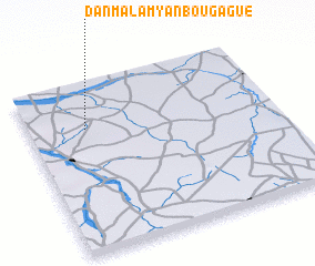 Places with similar names to Dan Malam Yan Bougagué, Niger :: Disclaimer :: Information on this page comes without warranty of any kind |
||
|
Where is Dan Malam Yan Bougagué? Elevation and coordinates ::
Latitude (lat): 13°44'0"N Longitude (lon): 7°14'0"E
Elevation (approx.): 402m (map arrows pan, magnifying glasses zoom) |
||
|
Visiting Dan Malam Yan Bougagué? Hotel/Accommodation ::
Book a hotel in Dan Malam Yan Bougagué Travel Guide ::
Buy a travel guide for Niger rental cars ::
car rental offers GPS waypoint ::
download a GPX waypoint (PoI) of Dan Malam Yan Bougagué for your GPS receiver
|
||